1. Home
  2. Allemagne
  3. Rhénanie-du-Nord-Westphalie
  4. Königswinter
Königswinter

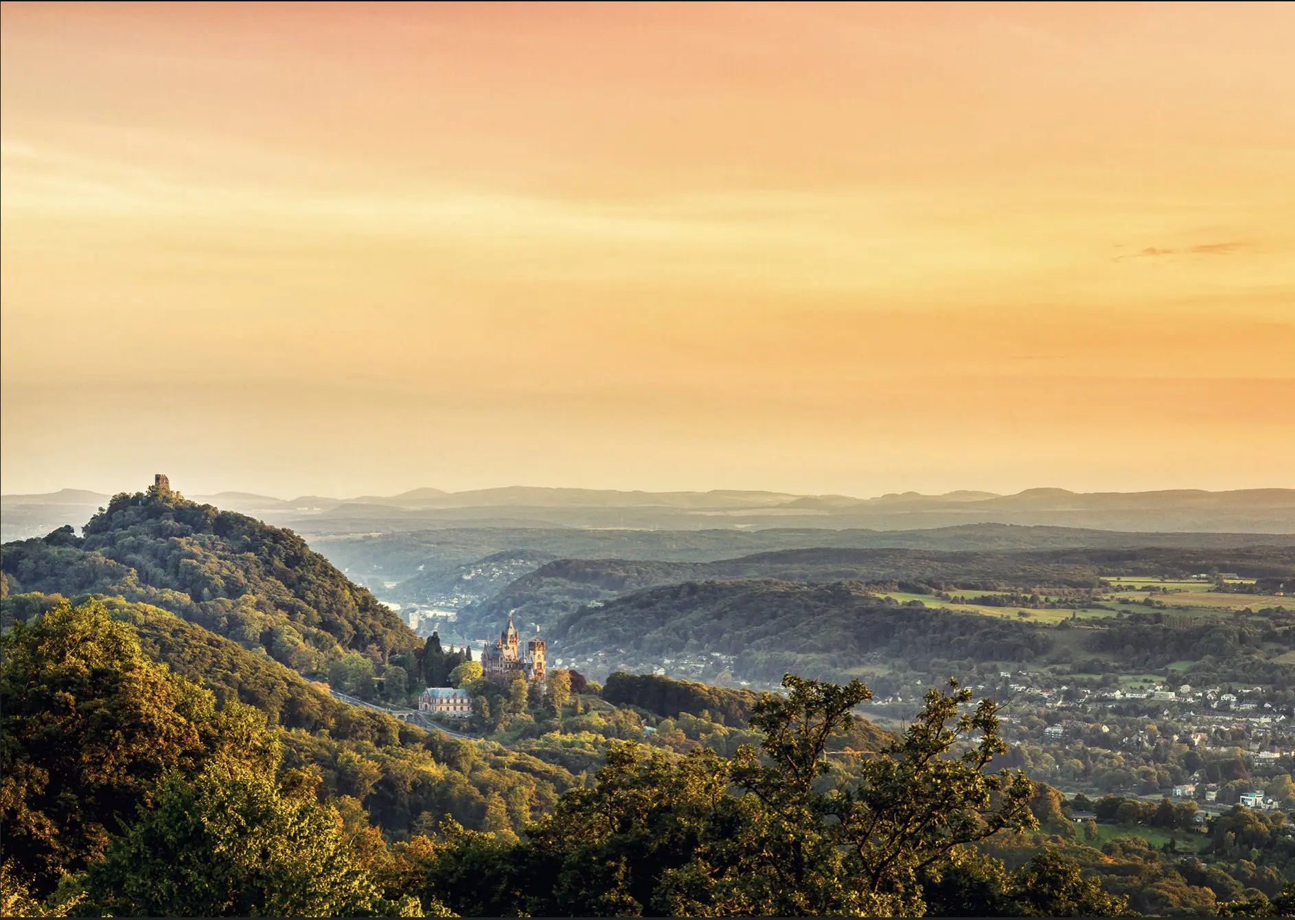
Drachenfels

Coordinate50.66737, 7.20684
Pubblicato daVisiteur web
01 mag 2019 · 00:00
Punteggio community
0

Accedi per votare

Meteo aeronautico· 04
Commenti· 05

Ancora nessun commento. Sii il primo!

Accedi per commentare

Posti nelle vicinanze· 06
  • Ahrweiler - Rheinland-PfalzRemagen8,4 km
  • Mülheim - KölnCologne35,2 km
  • Mayen-Koblenz - Rheinland-PfalzSankt Sebastian37,9 km
  • Forteresse d'EhrenbreitsteinCoblence44,3 km
  • Oberbergischer Kreis - KölnGummersbach47,3 km
  • Oberbergischer Kreis - KölnBergneustadt49,7 km
  • Gummersbach - Oberbergischer KreisGummersbach51,4 km
  • Campingplatz PommernPommern55,6 km
Vento in diretta· 07
Windy
Drachenfels
Briefing pilota
Difficoltà
1/3
Principiante
Accessibilità
2/3
Mediamente accessibile
Descrizione

One of the many mountains in the Siebengebirge is this one called ''Petersberg'', which is near the Rhine and offers a great view over Bonn and ''Drachenfels''. There is free parking at the top of Petersberg, but sometimes you have to pay a small fee if you want to get up there by car. Photo by Manuel Becker www.manuelbecker.net
Restrizioni qui· 03

Nessuna restrizione nota in questo punto.

Verifica sempre prima di volare — la copertura dipende dai dati pubblicati dal tuo paese.

ven 13 nov
23:57
Condizioni
Alba
Tramonto
Precipitazioni
Temperatura
Indice KP
Copertura nuvolosa
Vento
Raffiche
Visibilità
Umidità
Satelliti
DroneSpot Pro

Pianifica in anticipo e trova le tue finestre di volo con accesso a previsioni dettagliate a 10 giorni mostrando condizioni, satelliti, vento, indice kp, e altro ancora.