Montagne Briançon
  1. Home
  2. France
  3. Provence-Alpes-Côte d'Azur
  4. Villar-Saint-Pancrace
Villar-Saint-Pancrace

Montagne Briançon

Coordinates44.87059, 6.63952
Published byVisiteur web
16 Apr 2018 · 12:00 AM
Community score
0

Log in to vote

Categories
🌳 Arbres
Aviation weather· 04
Live wind· 05
Windy
Pilot briefing
Difficulty
2/3
Medium
Accessibility
2/3
Moderately accessible
Description

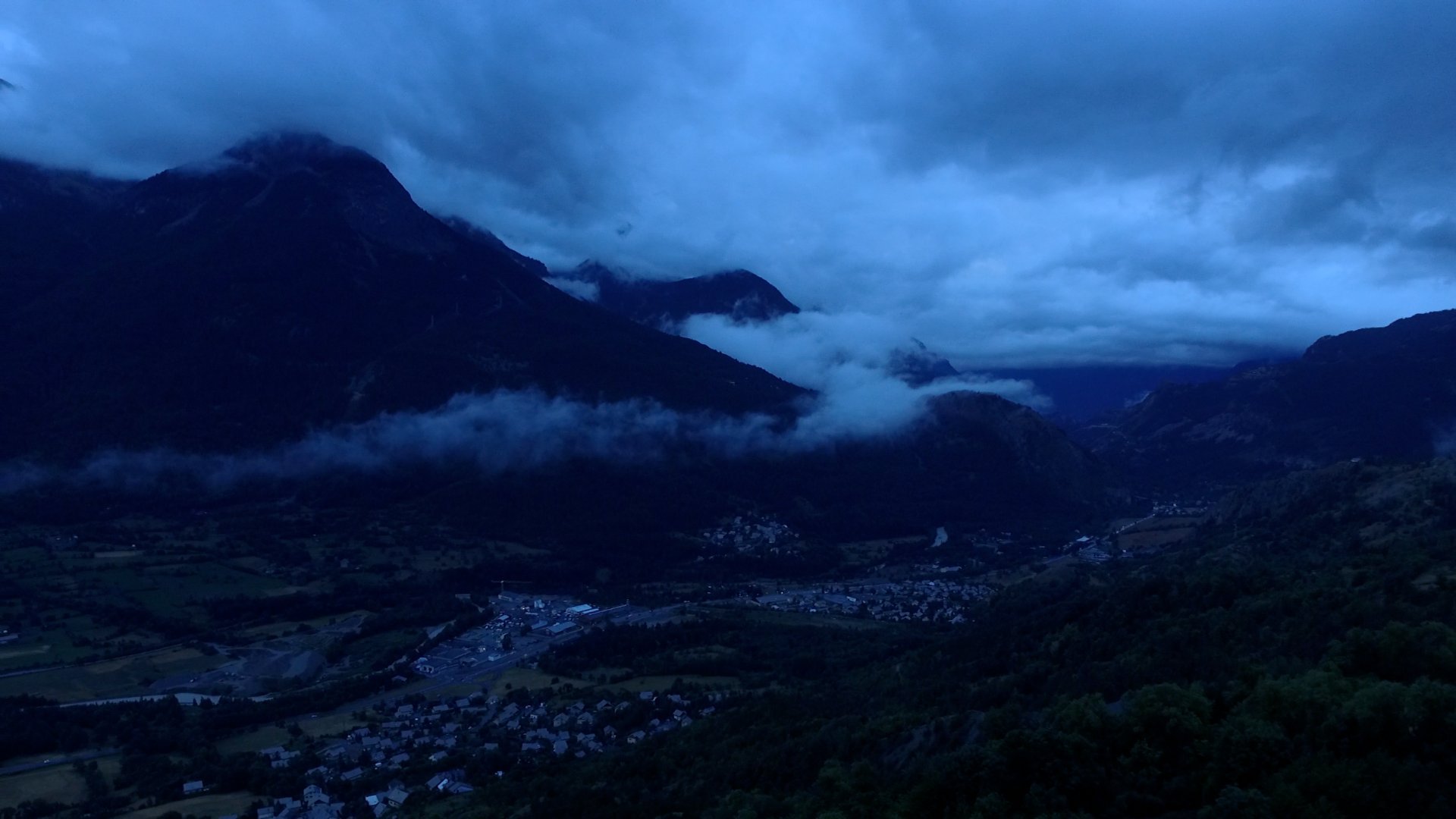
Plan de la montagne qui a de belles courbes. Il va tout de même falloir effectuer des mouvements amples avec le drone car la notion de mouvement en montagne est très difficiles à percevoir. Préférez les jours nuageux comme sur la photo.

Restrictions here· 03
11 active rules
  • [LF][R 196 A1 EST] GAPRestricted · No-fly
  • [LF][R 196 A1 SUP] GAPRestricted · No-fly
  • [LF][SEBAH BRIANCON]Aerodrome / other · No-fly
  • RTUpcoming
  • R1504/26-LFBBUpcoming
  • R1032/25-LFFFActive now
  • RTActive now
  • ROActive now
  • RTActive now
  • RTUpcoming
  • R1005/26-LFBBActive now
Sun, Jun 14
11:07 PM
Conditions
Sunrise
Sunset
Precipitations
Temperature
KP index
Cloud cover
Wind speed
Wind gust
Visibility
Humidity
Satellites
DroneSpot Pro

Plan your flights in advance and find your windows with access to detailed 10-day forecasts showing conditions, satellites, wind, kp index, and more.