1. Home
  2. France
  3. Auvergne-Rhône-Alpes
  4. Vailly
Vailly

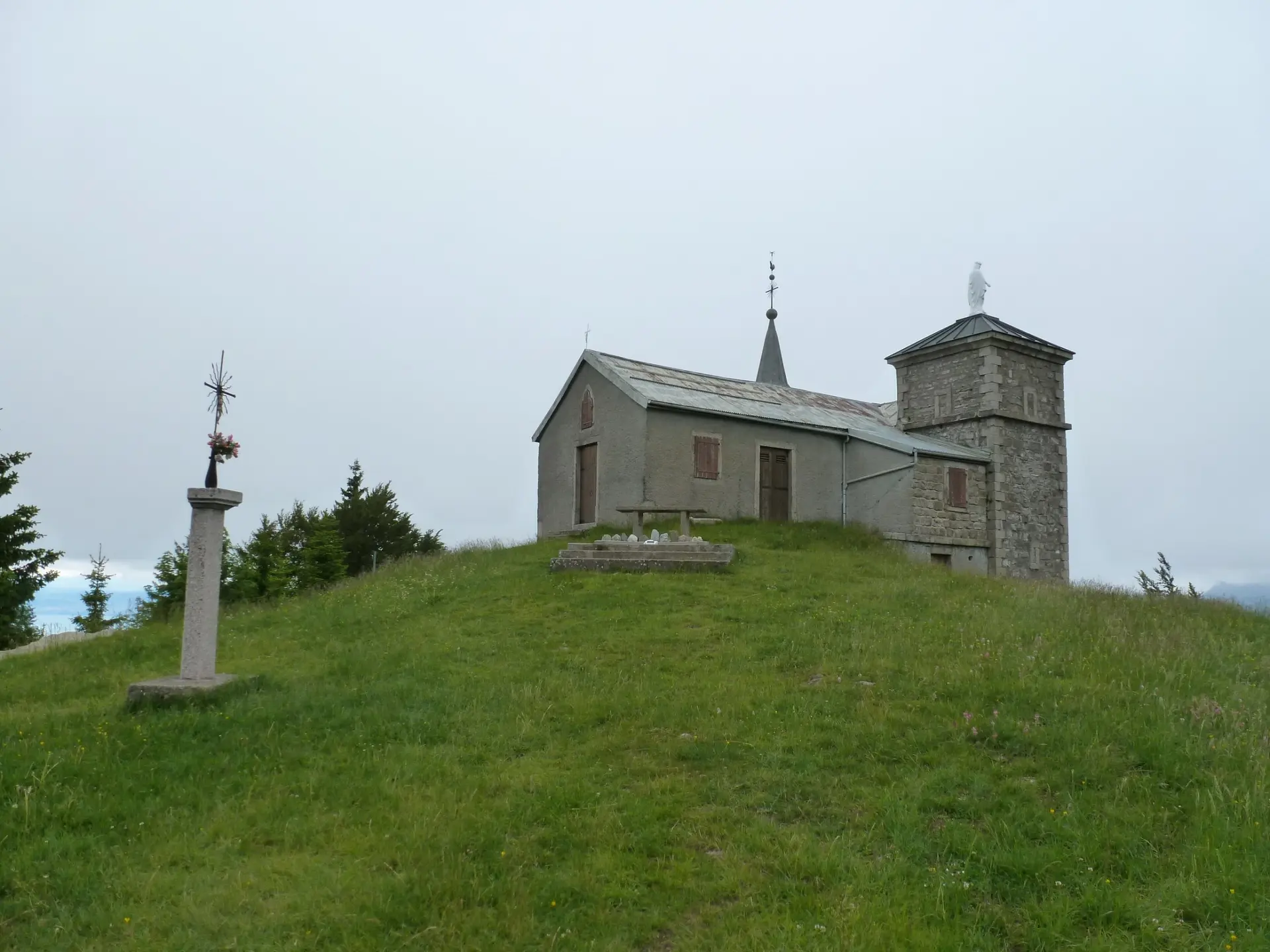
Chapelle du feu

Coordinates46.30613, 6.51781
Published byalex74
23 May 2018 · 12:00 AM
Community score
0

Log in to vote

Aviation weather· 04
Comments· 05

No comments yet. Be the first!

Log in to comment

Nearby spots· 06
  • Mont ForchazLullin4.3 km
  • Châteaux des AllingesAllinges4.9 km
  • Chateau des AllingesAllinges4.9 km
  • SeytrouxSeytroux9.3 km
  • SeytrouxSeytroux9.3 km
  • SupersaxelSaxel10.6 km
  • Lac de BellevauxBellevaux10.6 km
  • MiribelVillard11.4 km
Live wind· 07
Windy
Chapelle du feu
Pilot briefing
Difficulty
2/3
Medium
Accessibility
2/3
Moderately accessible
Description

Accessible après 20min de marche environ. L endroit est un superbe point de vue sur le Léman. Attention il y a une aire de décollage de parapentes juste a coté et il peut y avoir bcp touristes en été. Parking au col du Feu.
Restrictions here· 03
1 active rule
  • Habère Poche (Habère-Poche) — Volume 50 mAerodrome / other · authorisation required from ground
Tue, Nov 10
12:51 PM
Conditions
Sunrise
Sunset
Precipitations
Temperature
KP index
Cloud cover
Wind speed
Wind gust
Visibility
Humidity
Satellites
DroneSpot Pro

Plan your flights in advance and find your windows with access to detailed 10-day forecasts showing conditions, satellites, wind, kp index, and more.