1. Home
  2. France
  3. Hauts-de-France
  4. Hulluch
Hulluch

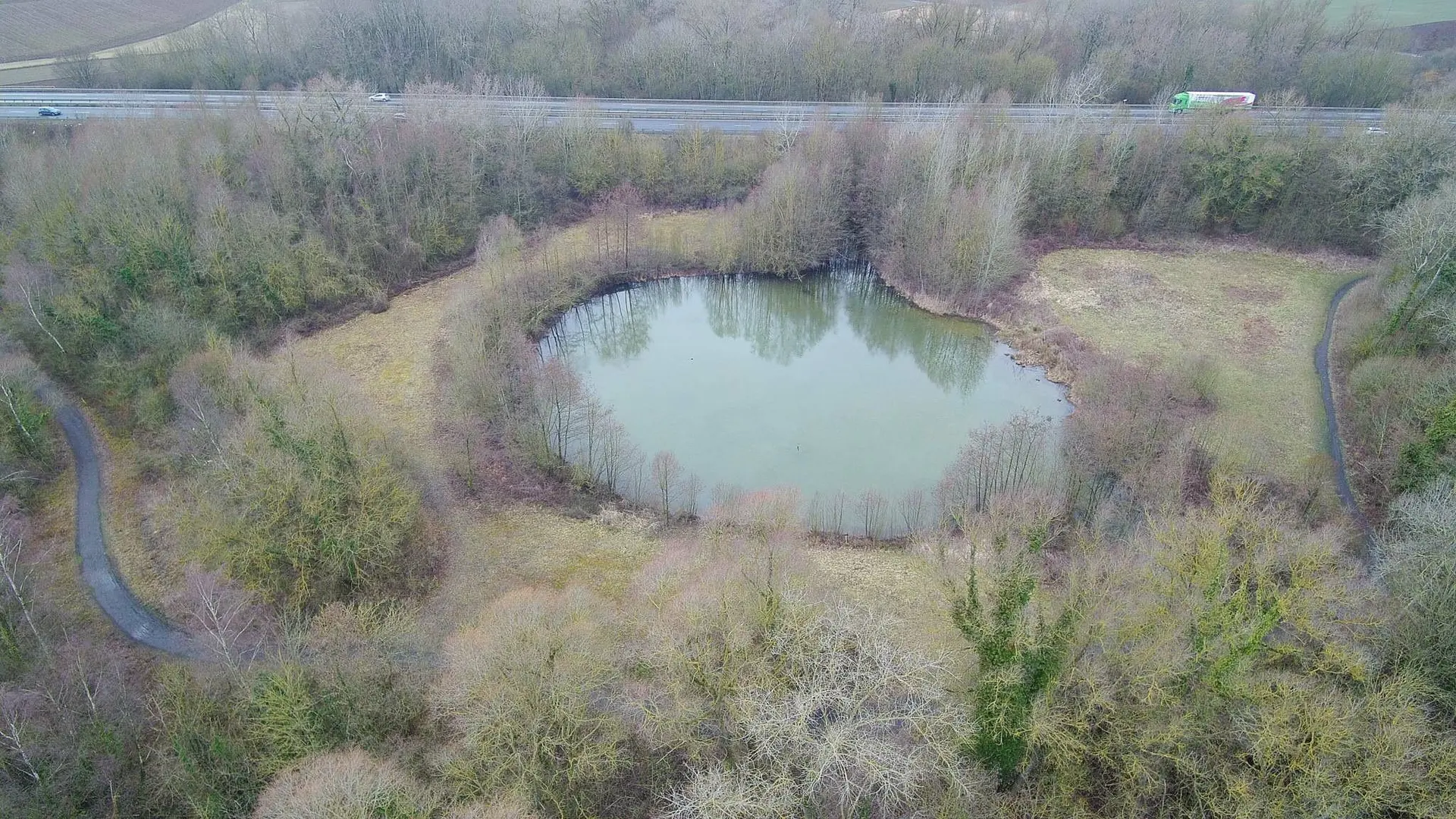
Ch’trou de Wingles

Coordinates50.49991, 2.84251
Published byjohan
08 Jul 2018 · 12:00 AM
Community score
0

Log in to vote

Aviation weather· 04
Comments· 05

No comments yet. Be the first!

Log in to comment

Nearby spots· 06
  • Les marais du flotDouvrin< 1 km
  • Champ de douvrinDouvrin1 km
  • Parc de nature et loisirs Marcel cabidduWingles1.6 km
  • Stade de SaloméSalomé4.3 km
  • Terril de estevellesEstevelles5.8 km
  • Terrils 21 harnesHarnes6.2 km
  • Grande zone dégagée avec vue sur le terril d’EstevellesCarvin7.3 km
  • Ancien ascenseurLoos-en-Gohelle7.4 km
Live wind· 07
Windy
Ch’trou de Wingles
Pilot briefing
Difficulty
1/3
Beginner
Accessibility
1/3
Easy to access
Description

Petit bois Accès facile Endroit tranquille pour volé au calme
Restrictions here· 03
4 active rules
  • Piste 09/27 aérodrome LENS BENIFONTAINE LFQLAerodrome / other · ≤ ~120 m
  • Piste 03/21 aérodrome LENS BENIFONTAINE LFQLAerodrome / other · ≤ ~80 m · 2 layers
  • Lens Benifontaine (Vendin-Le-Vieil) — Volume 100 mAerodrome / other · ≤ 100 m
  • OBActive now
Tue, Nov 10
3:54 AM
Conditions
Sunrise
Sunset
Precipitations
Temperature
KP index
Cloud cover
Wind speed
Wind gust
Visibility
Humidity
Satellites
DroneSpot Pro

Plan your flights in advance and find your windows with access to detailed 10-day forecasts showing conditions, satellites, wind, kp index, and more.