1. Home
  2. France
  3. Provence-Alpes-Côte d'Azur
  4. La Motte-d'Aigues
La Motte-d'Aigues

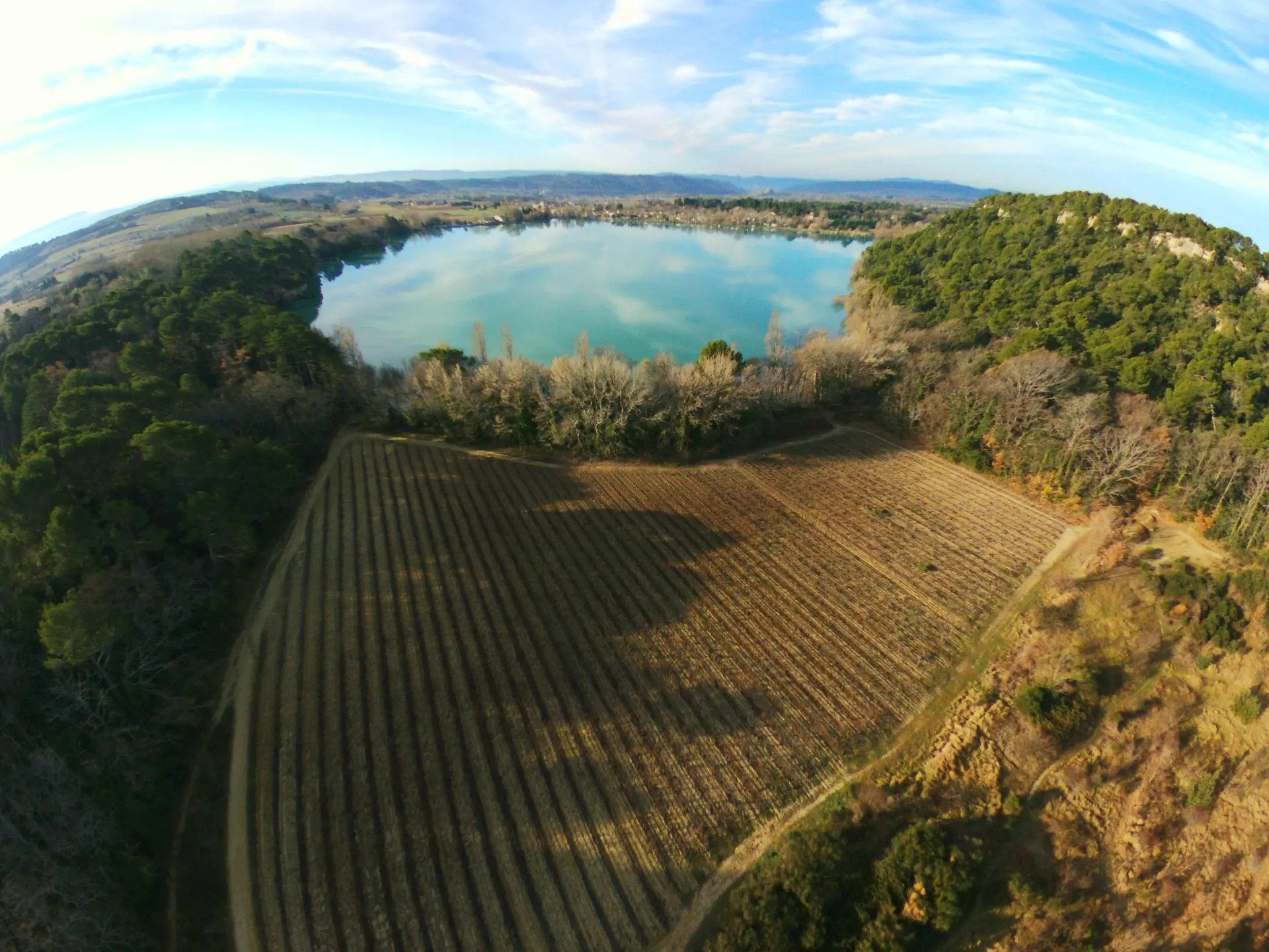
Étang de La Bonde

Coordinates43.76506, 5.51091
Published byst3v004
25 Feb 2020 · 05:28 PM
Community score
0

Log in to vote

Aviation weather· 04
Comments· 05

No comments yet. Be the first!

Log in to comment

Nearby spots· 06
  • Falaise de BuouxBuoux11.9 km
  • Acqueduc de la Traconnade - Meyrargues (13)Meyrargues14.8 km
  • Château La CosteLe Puy-Sainte-Réparade16.1 km
  • Colorado ProvençalRustrel16.5 km
  • Moulin de MontfuronMontfuron16.7 km
  • Bonnieux Bonnieux17.1 km
  • Chapelle Saint BriceCorbières-en-Provence19.1 km
  • Chapelle Saint-Patrice de PierrevertPierrevert19.6 km
Live wind· 07
Windy
Étang de La Bonde
Pilot briefing
Difficulty
1/3
Beginner
Accessibility
1/3
Easy to access
Description

petit étang très joli, possibilité de filmer le Luberon également. Vol hors saison de préférence.
Restrictions here· 03
2 active rules
  • [LF][VOLTAC LUC]Aerodrome / other · No-fly
  • Création de Zones Réglementées Temporaires (ZRT) au profit de l'exercice RW MC COURSE 2026, en régions CENTRE et SUD-ESTSUP AIP 236/2026
Tue, Nov 10
3:00 AM
Conditions
Sunrise
Sunset
Precipitations
Temperature
KP index
Cloud cover
Wind speed
Wind gust
Visibility
Humidity
Satellites
DroneSpot Pro

Plan your flights in advance and find your windows with access to detailed 10-day forecasts showing conditions, satellites, wind, kp index, and more.