Chapelle du XV siècle, accessible jour et nuit, possibilité de se poser sur les bancs, et petit barbecue en pierre disponible. Point de vue culminant à 112 m d'altitude sur la Vallée de la Hem et sur la Flandre Côtière
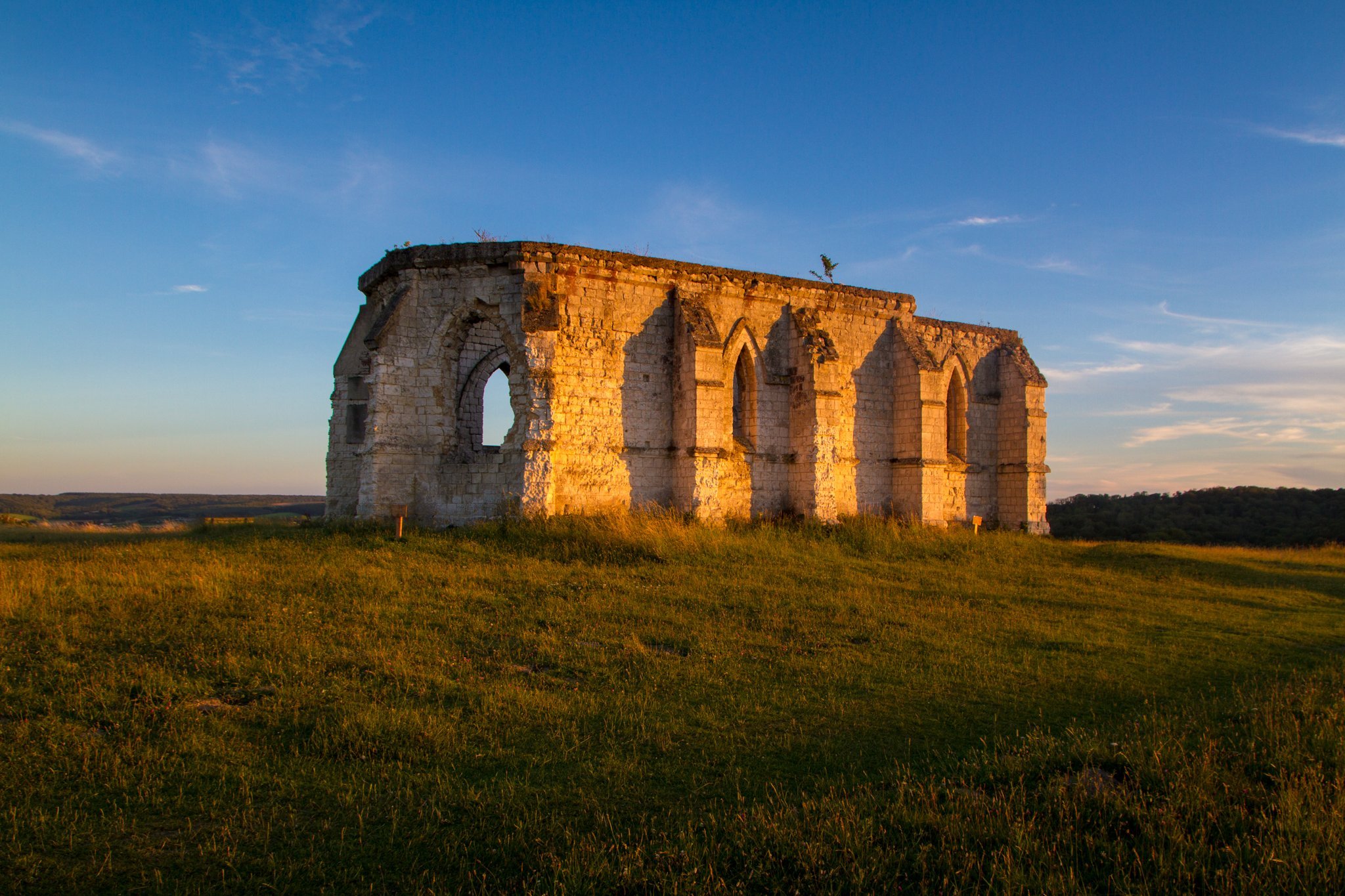
Tournehem-sur-la-Hem
Chapelle Saint Louis
Coordinates50.81038, 2.01980
Published byVisiteur web
Community score
0
Restrictions here· 03
No known restrictions at this point.
Always cross-check before flying — coverage depends on your country's published data.
Aviation weather· 04
Flight footage· 05
Comments· 06
No comments yet. Be the first!
Live wind· 07