1. Home
  2. France
  3. Occitanie
  4. Canet-en-Roussillon
Canet-en-Roussillon

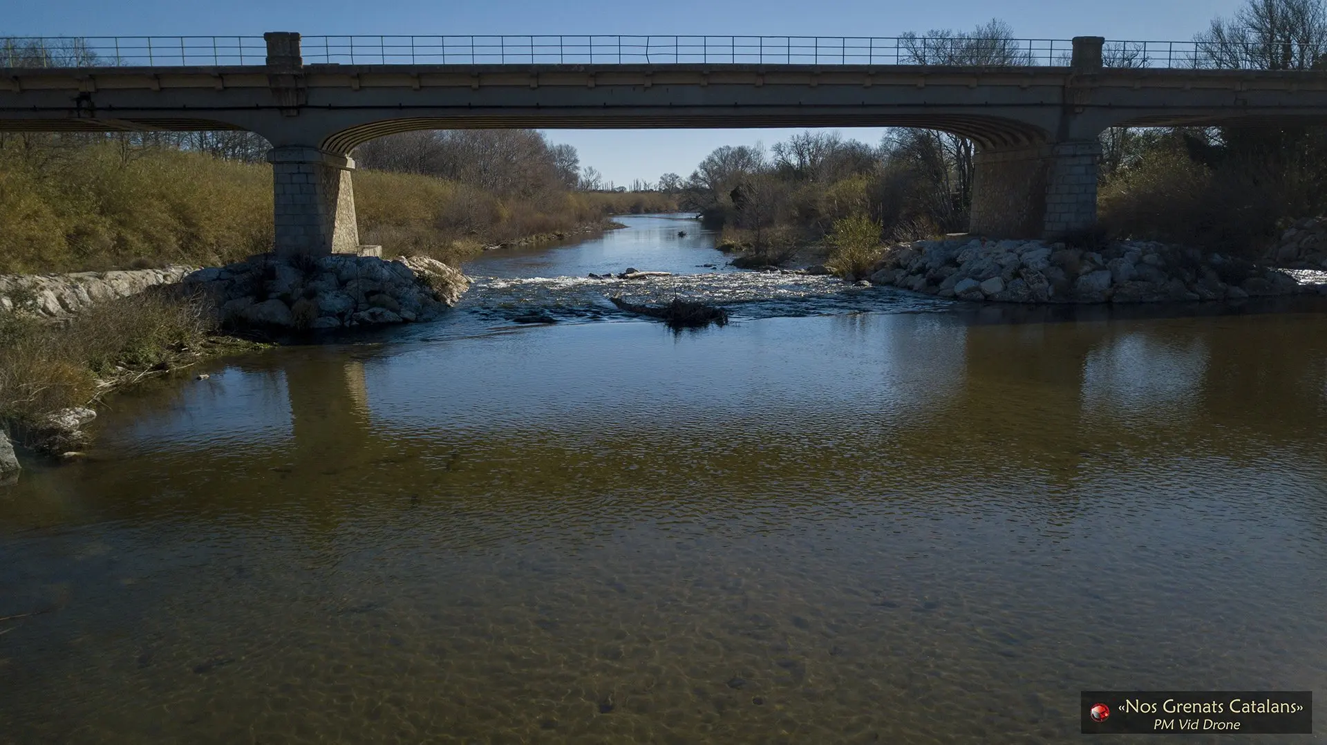
Pont sur la Tet

Coordinates42.71366, 2.98239
Published bypmviddrone
28 Aug 2018 · 12:00 AM
Community score
0

Log in to vote

Aviation weather· 04
Comments· 05

No comments yet. Be the first!

Log in to comment

Nearby spots· 06
  • Plaine / camion abandonnéCanet-en-Roussillon1.9 km
  • Embouchure de la TetCanet-en-Roussillon4.7 km
  • Port de Canet Plage en RoussillonCanet-en-Roussillon4.7 km
  • Plage de Canet en Roussillon depuis le PortCanet-en-Roussillon4.8 km
  • Barque de pêcheur d'anguillesCanet-en-Roussillon7.1 km
  • Les barques du villageCanet-en-Roussillon7.1 km
  • Cabanes de Pêcheurs d'AnguilleCanet-en-Roussillon7.2 km
  • El Reart 01 12 2021Canet-en-Roussillon7.2 km
Live wind· 07
Windy
Pont sur la Tet
Pilot briefing
Difficulty
1/3
Beginner
Accessibility
1/3
Easy to access
Description

Entre Canet en Roussillon et Sainte Marie
Restrictions here· 03
3 active rules
  • Torreilles — Volume 50 mAerodrome / other · ≤ ~48 m
  • Piste 15/33 aérodrome PERPIGNAN RIVESALTES LFMPAerodrome / other · ≤ ~99 m · 2 layers
  • [LF][CTR PERPIGNAN]Aerodrome · ≤ 50 m
Tue, Nov 10
8:13 AM
Conditions
Sunrise
Sunset
Precipitations
Temperature
KP index
Cloud cover
Wind speed
Wind gust
Visibility
Humidity
Satellites
DroneSpot Pro

Plan your flights in advance and find your windows with access to detailed 10-day forecasts showing conditions, satellites, wind, kp index, and more.