1. Home
  2. France
  3. Auvergne-Rhône-Alpes
  4. Ramasse
Ramasse

Chapelle des Conches

Coordinates46.20894, 5.34398
Published bymaxime114
28 Dec 2020 · 02:54 PM
Community score
0

Log in to vote

Aviation weather· 04
Comments· 05

No comments yet. Be the first!

Log in to comment

Nearby spots· 06
  • Notre dame des conchesRamasse< 1 km
  • Notre dame des ConchesRamasse< 1 km
  • Mont RignatBohas-Meyriat-Rignat6.8 km
  • Viaduc de CizeCize8.2 km
  • Viaduc de cize bolozonCorveissiat8.3 km
  • Abbaye de SélignacSimandre-sur-Suran9.5 km
  • Étang de fougemagneColigny20.6 km
  • Chemin des éoliennesMartignat21.2 km
Live wind· 07
Windy
Chapelle des Conches
Pilot briefing
Difficulty
2/3
Medium
Accessibility
2/3
Moderately accessible
Description

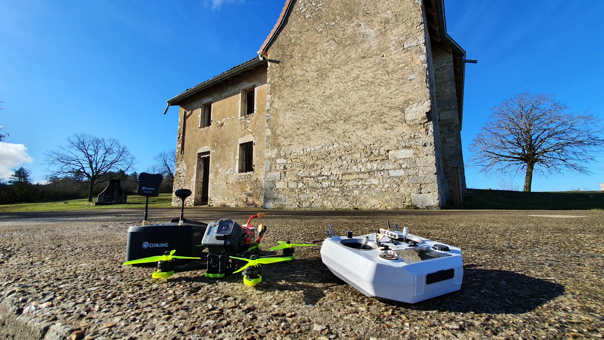
Pour le fpv : bon espace, faire attention aux voitures. Bons résultats en vidéo
Restrictions here· 03
3 active rules
  • Bourg Ceyzeriat (Jasseron) — Volume 100 mAerodrome / other · ≤ 100 m
  • Piste 18/36 aérodrome BOURG CEYZERIAT LFHSAerodrome / other · authorisation required from ground
  • Piste 18R/36L aérodrome BOURG CEYZERIAT LFHSAerodrome / other · authorisation required from ground
Tue, Nov 10
9:28 AM
Conditions
Sunrise
Sunset
Precipitations
Temperature
KP index
Cloud cover
Wind speed
Wind gust
Visibility
Humidity
Satellites
DroneSpot Pro

Plan your flights in advance and find your windows with access to detailed 10-day forecasts showing conditions, satellites, wind, kp index, and more.