1. Home
  2. France
  3. Île-de-France
  4. Essonne
  5. Chauffour-lès-Étréchy
Chauffour-lès-Étréchy

Chaufour les Etrechy

Coordinates48.50593, 2.17204
Published bylapagedetonton
06 Feb 2021 · 11:53 PM
Community score
0

Log in to vote

Aviation weather· 04
Flight footage· 05
Comments· 06

No comments yet. Be the first!

Log in to comment

Nearby spots· 07
  • Coteau des Verts GalantsChauffour-lès-Étréchy< 1 km
  • Autour d’EtrechyChauffour-lès-Étréchy1 km
  • Chateau gillevoisinJanville-sur-Juine4.8 km
  • Chateau du petit mesnilBouray-sur-Juine7.8 km
  • st CheronSaint-Maurice-Montcouronne8 km
  • ArdillièreForges-les-Bains14.9 km
  • Etang fleuri vert le petitVert-le-Petit15.2 km
  • Etang fleuri commune de Vers-le-PetitVert-le-Petit15.4 km
Live wind· 08
Windy
Chaufour les Etrechy
Pilot briefing
Difficulty
2/3
Medium
Accessibility
2/3
Moderately accessible
Description

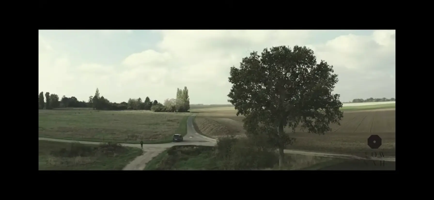
Plaine chaufour les Etrechy Bon plan drone pour apprentissage limité à 50 mètres Attention départementale pas loin
Can I fly here?· 03

Prohibited

At least one restriction prohibits flying at this spot.

Max height : —

  • [LF][R 324] VEILLE REGION PARISIENNEProhibited

    No-fly zone from the ground up.

  • [LF][VOLTAC GIH]Conditional

    Military training sector: with a drone of 900 g or more, notify your flight on AlphaTango, by 6 am on the day of the flight at the latest (noon for a flight after 2 pm).

A local order (prefecture, town hall) may also restrict flying. Stay alert on site.

Computed on November 16 at 02:18 PM

See on the map
Mon, Nov 16
1:18 PM
Conditions
Sunrise
Sunset
Precipitations
Temperature
KP index
Cloud cover
Wind speed
Wind gust
Visibility
Humidity
Satellites
DroneSpot Pro

Plan your flights in advance and find your windows with access to detailed 10-day forecasts showing conditions, satellites, wind, kp index, and more.