Etangs de la Somme
  1. Home
  2. France
  3. Hauts-de-France
  4. Cléry-sur-Somme
Cléry-sur-Somme

Etangs de la Somme

Coordinates49.93996, 2.88986
Published byVisiteur web
03 Apr 2021 · 11:44 AM
Community score
0

Log in to vote

Aviation weather· 04
Flight footage· 05
Live wind· 06
Windy
Pilot briefing
Difficulty
2/3
Medium
Accessibility
2/3
Moderately accessible
Description

Accessible depuis des chemins de terre.
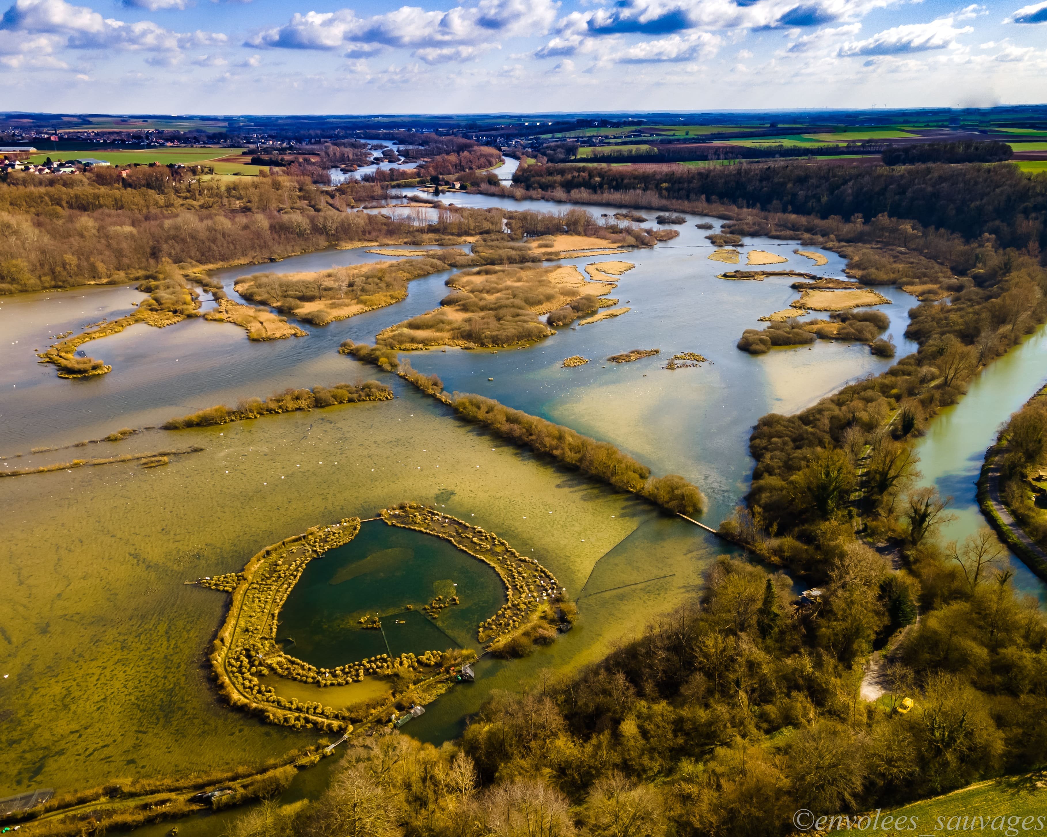
Restrictions here· 03
10 active rules
  • Piste 09/27 aérodrome PERONNE SAINT QUENTIN LFAGAerodrome / other · ≤ 190 m
  • [LF][TMA PARIS]Approach · No-fly
  • Piste 09/27 aérodrome PERONNE SAINT QUENTIN LFAGAerodrome / other · ≤ 150 m
  • [LF][TMA LILLE]Approach · No-fly
  • [LF][TMA LILLE]Approach · No-fly
  • RTActive now
  • R1032/25-LFFFActive now
  • R1000/26-LFBBActive now
  • RTActive now
  • <p>Création d’une zone dangereuse temporaire (ZDT) et de zones réglementées temporaires (ZRT) pour le transit d’un drone en UIR France</p>SUP AIP 233/2024
Fri, Jun 12
5:00 AM
Conditions
Sunrise
Sunset
Precipitations
Temperature
KP index
Cloud cover
Wind speed
Wind gust
Visibility
Humidity
Satellites
DroneSpot Pro

Plan your flights in advance and find your windows with access to detailed 10-day forecasts showing conditions, satellites, wind, kp index, and more.