1. Home
  2. France
  3. Auvergne-Rhône-Alpes
  4. Savoie
  5. Entremont-le-Vieux
Entremont-le-Vieux

Le désert d'Entremont

Coordinates45.45672, 5.85800
Published byorian3_26
15 Aug 2021 · 08:25 AM
Community score
0

Log in to vote

Aviation weather· 04
Flight footage· 05
Comments· 06

No comments yet. Be the first!

Log in to comment

Nearby spots· 07
  • Lac d’AiguebeletteLépin-le-Lac11.1 km
  • Lac d'AiguebeletteAiguebelette-le-Lac11.1 km
  • Plage du SougeySaint-Alban-de-Montbel11.9 km
  • Belvédère de nonneSaint-Laurent-du-Pont13.5 km
  • Plaine de frencinPorte-de-Savoie14 km
  • Site d’escalade - Saint Étienne de CrosseySaint-Joseph-de-Rivière18.1 km
  • Croix du NivoletLes Déserts19.3 km
  • Le Super Collet d’AllevardAllevard22.8 km
Live wind· 08
Windy
Le désert d'Entremont
Pilot briefing
Difficulty
2/3
Medium
Accessibility
2/3
Moderately accessible
Description

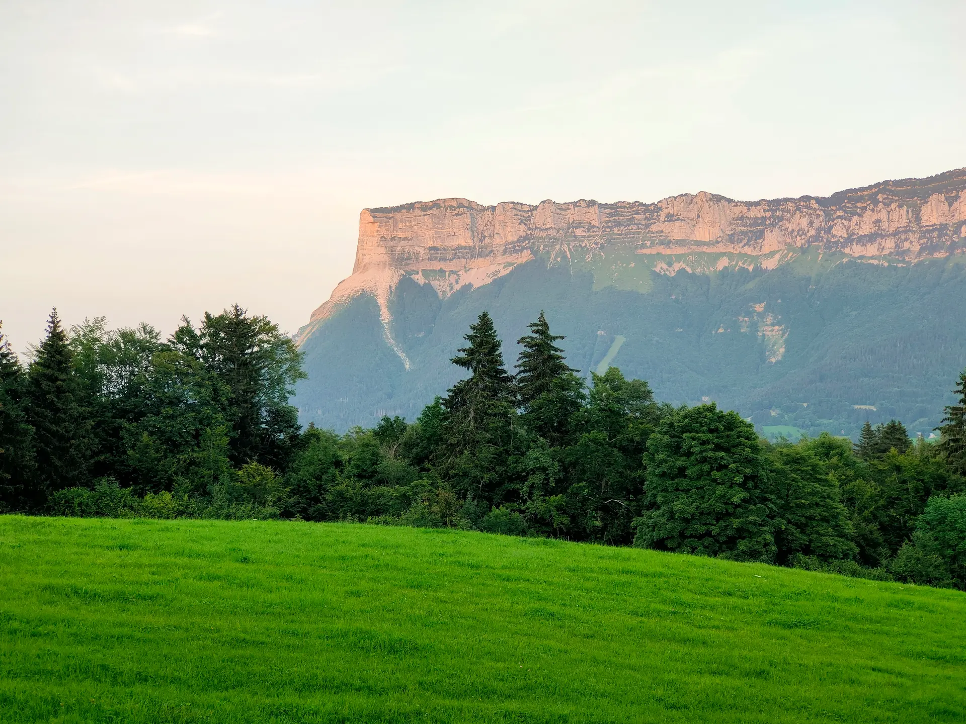
vue dégagée sur la Chartreuse et la montagne du Granier à proximité de la petite station du Désert.
Can I fly here?· 03

Conditional: aerodrome agreement

Near an aerodrome, flying above the height shown requires the agreement of its operator or of air traffic control.

Max height : 120 m

  • Near an aerodromeConditional

    Above 0 m, the flight requires the agreement of the aerodrome operator or of air traffic control.

A local order (prefecture, town hall) may also restrict flying. Stay alert on site.

Computed on November 21 at 06:08 PM

See on the map
 
--:--
Conditions
Sunrise
Sunset
Precipitations
Temperature
KP index
Cloud cover
Wind speed
Wind gust
Visibility
Humidity
Satellites
Drone Spot Pro

Plan your flights in advance and find your windows with access to detailed 10-day forecasts showing conditions, satellites, wind, kp index, and more.