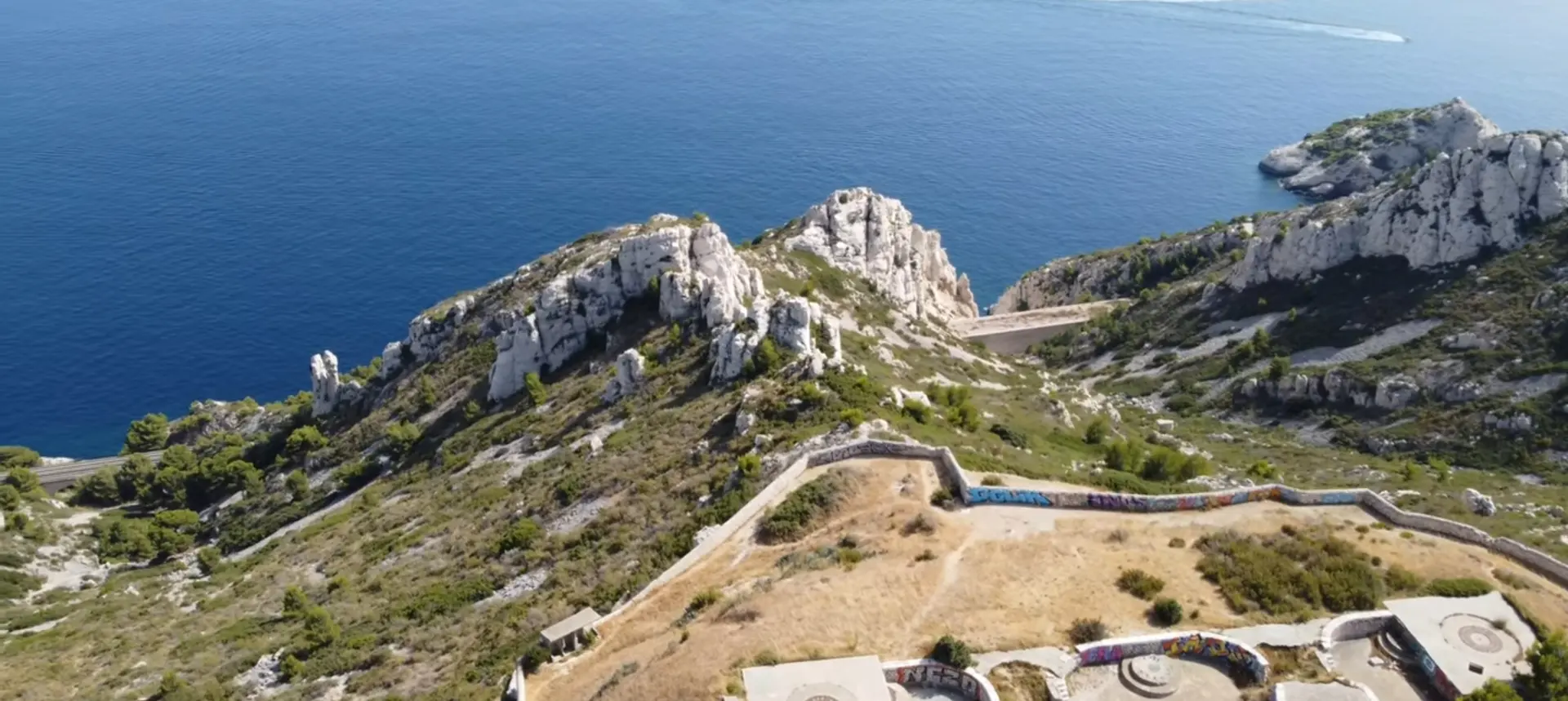
Un endroit sympa à visiter surtout pour faire des spot avec le drone . Il faut monter en haut pour bien filmer car la hauteur maximale est 30 mettre à 50 mettre
No comments yet. Be the first!
Un endroit sympa à visiter surtout pour faire des spot avec le drone . Il faut monter en haut pour bien filmer car la hauteur maximale est 30 mettre à 50 mettre
Conditional: operator approval
You can fly with the approval of the zone operator.
Max height : 50 m
Flying requires the approval of: Organisme fournissant le service de contrôle de la circulation aérienne, à défaut, prestataire du service d'information de vol de l'aérodrome, à défaut, exploitant de l'aérodrome.
Flying requires the approval of: Organisme fournissant le service de contrôle de la circulation aérienne, à défaut, prestataire du service d'information de vol de l'aérodrome, à défaut, exploitant de l'aérodrome.
Above 0 m, the flight requires the agreement of the aerodrome operator or of air traffic control.
The zone starts 50 m above the ground: stay below it.
NOTAM in force at this spot. Read it before flying.
Protected area with no known overflight ban. Respect wildlife and plants.
1 more reason on the map
A local order (prefecture, town hall) may also restrict flying. Stay alert on site.
Computed on November 16 at 07:18 PM
See on the mapPlan your flights in advance and find your windows with access to detailed 10-day forecasts showing conditions, satellites, wind, kp index, and more.