1. Home
  2. France
  3. Occitanie
  4. Vernet-les-Bains
Vernet-les-Bains

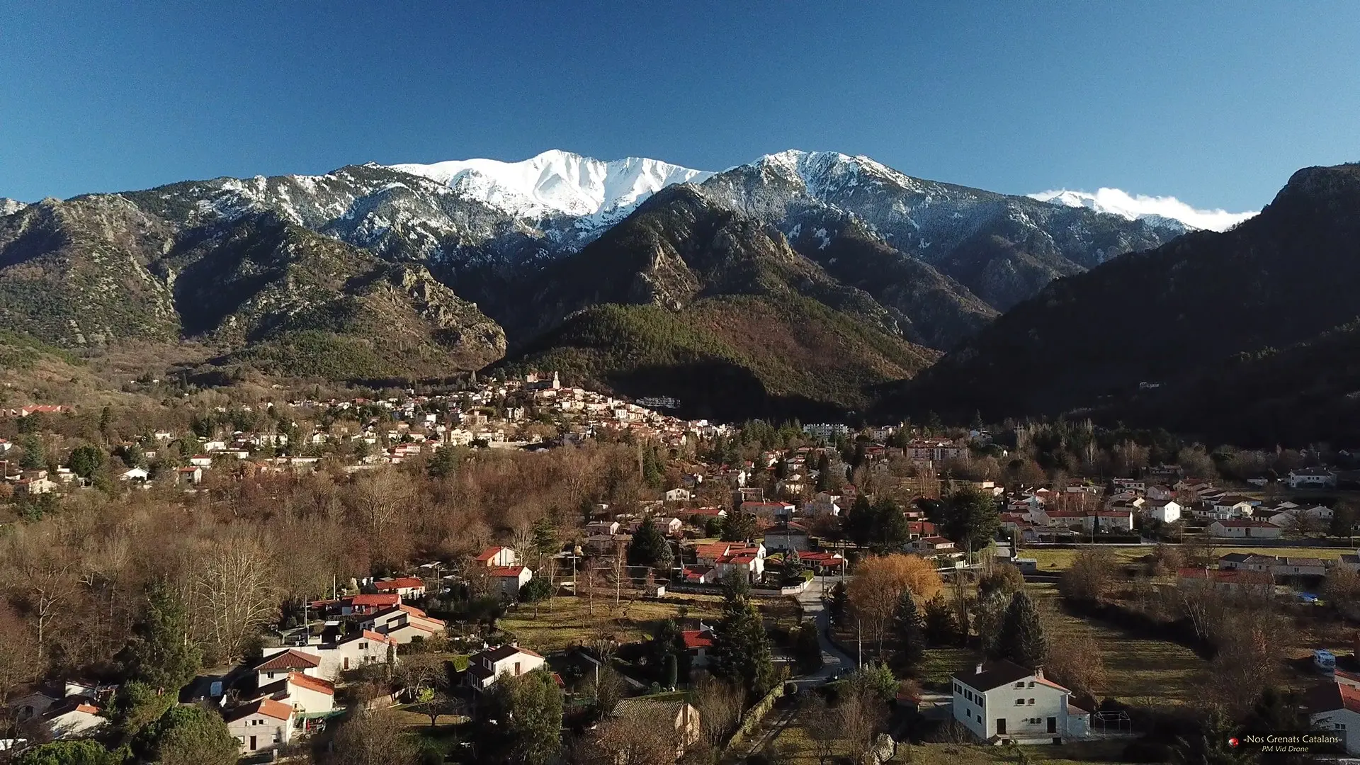
Vernet les Bains avec le Canigó

Coordinates42.55549, 2.37469
Published bypmviddrone
11 Sep 2018 · 12:00 AM
Community score
0

Log in to vote

Aviation weather· 04
Comments· 05

No comments yet. Be the first!

Log in to comment

Nearby spots· 06
  • Tour de GoaCasteil3.7 km
  • Abbaye de Saint Martin du CanigóCasteil3.7 km
  • Abbaye de Saint Michel de CuxaCodalet5.6 km
  • Belvédère EusEus11.7 km
  • Le Village d'EusEus11.8 km
  • Pont SéjournéFontpédrouse14.7 km
  • Prieuré de SerrabonaBoule-d'Amont18.7 km
  • plateau montalba , ropidereRodès19.1 km
Live wind· 07
Windy
Vernet les Bains avec le Canigó
Pilot briefing
Difficulty
1/3
Beginner
Accessibility
1/3
Easy to access
Description

Le Canigó surplombe la plaine du Roussillon et se situe au milieu du département. Selon le côté où l'on se trouve, son pic nous dévoile différentes formes.
Restrictions here· 03

No known restrictions at this point.

Always cross-check before flying — coverage depends on your country's published data.

Mon, Nov 9
9:11 PM
Conditions
Sunrise
Sunset
Precipitations
Temperature
KP index
Cloud cover
Wind speed
Wind gust
Visibility
Humidity
Satellites
DroneSpot Pro

Plan your flights in advance and find your windows with access to detailed 10-day forecasts showing conditions, satellites, wind, kp index, and more.