1. Home
  2. France
  3. Île-de-France
  4. Champcenest
Champcenest

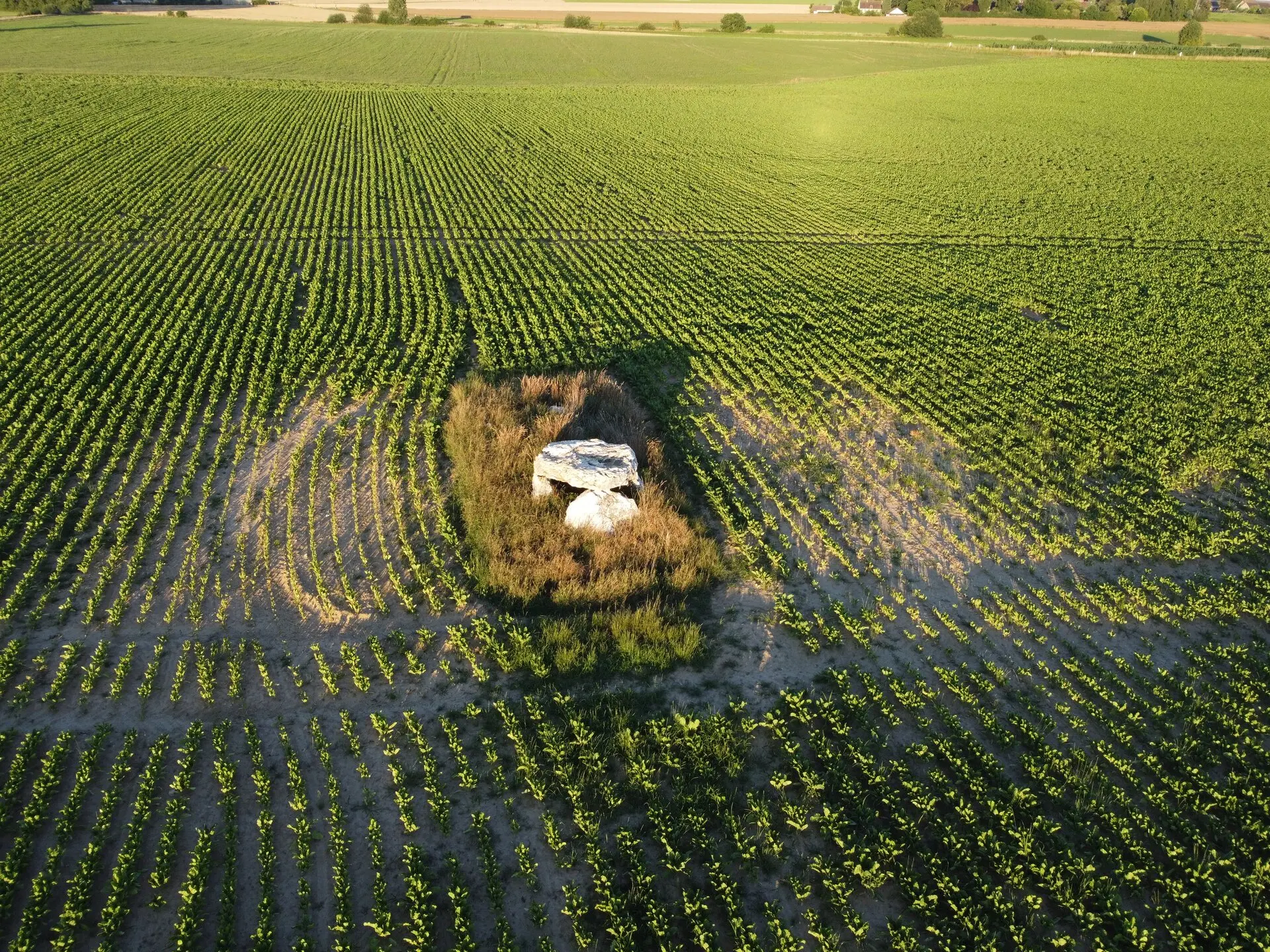
Dolmen des Marets

Coordinates48.65821, 3.30703
Published bypga
03 Jul 2022 · 11:41 PM
Community score
+1

Log in to vote

Aviation weather· 04
Comments· 05

No comments yet. Be the first!

Log in to comment

Nearby spots· 06
  • Arbalète végétaleBeauchery-Saint-Martin8.1 km
  • Seine-et-Marne - Île-de-FranceProvins10.3 km
  • Provins - Vieille ville, porte de JouyProvins10.3 km
  • Hangar SablièreSaint-Loup-de-Naud15.8 km
  • étang CessoyCessoy-en-Montois21.1 km
  • Parking du Chateau de la Motte-TillyLa Motte-Tilly23.5 km
  • Eglise de Saint Martin doue 77Doue25 km
  • Dolmen de NuisyFontaine-Denis-Nuisy30.8 km
Live wind· 07
Windy
Dolmen des Marets
Pilot briefing
Difficulty
2/3
Medium
Accessibility
2/3
Moderately accessible
Description

L'allée couverte de l'Étang des Essarts, appelée aussi dolmen des Marets, est un édifice mégalithique
Restrictions here· 03

No known restrictions at this point.

Always cross-check before flying — coverage depends on your country's published data.

Tue, Nov 10
3:45 PM
Conditions
Sunrise
Sunset
Precipitations
Temperature
KP index
Cloud cover
Wind speed
Wind gust
Visibility
Humidity
Satellites
DroneSpot Pro

Plan your flights in advance and find your windows with access to detailed 10-day forecasts showing conditions, satellites, wind, kp index, and more.