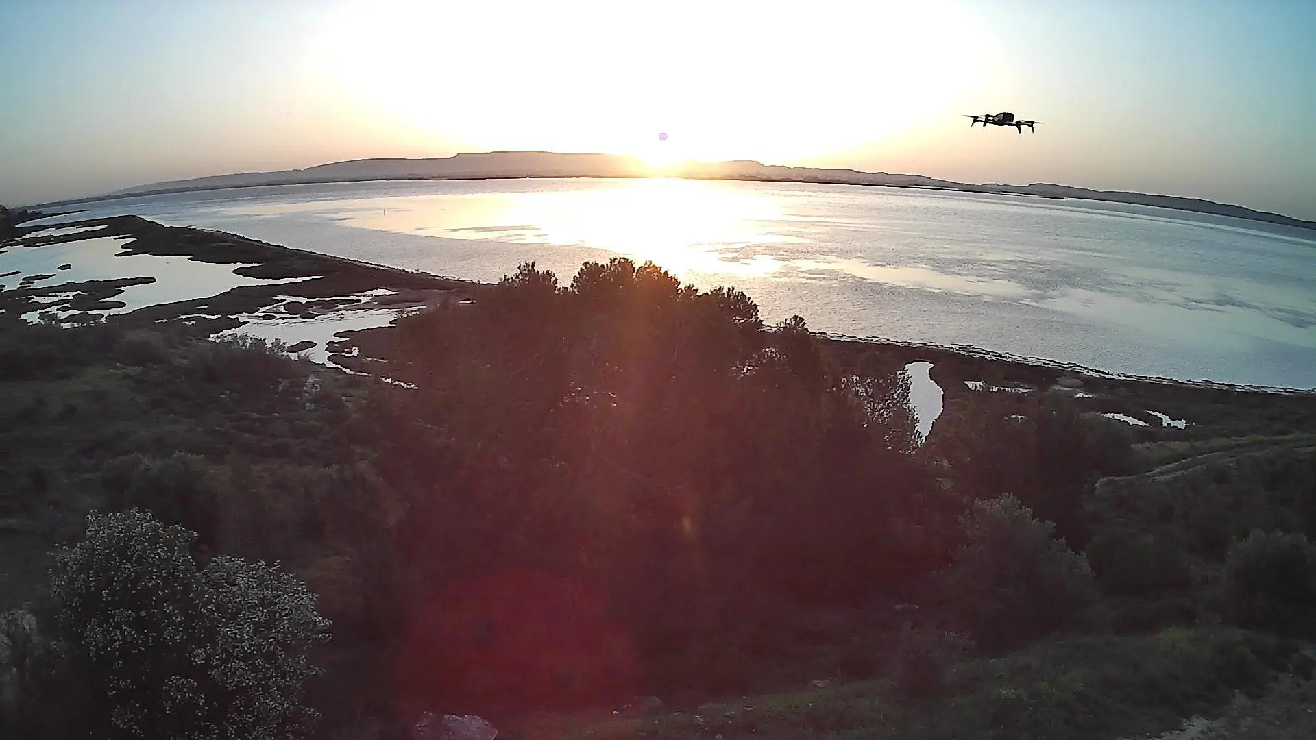
Lieu magnifique, à filmer au levé du jour ou en fin de journée, des couleurs magnifiques, avec une faune et flore développées
No comments yet. Be the first!
Lieu magnifique, à filmer au levé du jour ou en fin de journée, des couleurs magnifiques, avec une faune et flore développées
Flight allowed
No regulated zone at this spot. Fly up to 120 m, in daylight, with your drone in sight.
Max height : 120 m
Protected area with no known overflight ban. Respect wildlife and plants.
Protected area with no known overflight ban. Respect wildlife and plants.
A local order (prefecture, town hall) may also restrict flying. Stay alert on site.
Computed on November 13 at 04:17 PM
See on the mapPlan your flights in advance and find your windows with access to detailed 10-day forecasts showing conditions, satellites, wind, kp index, and more.