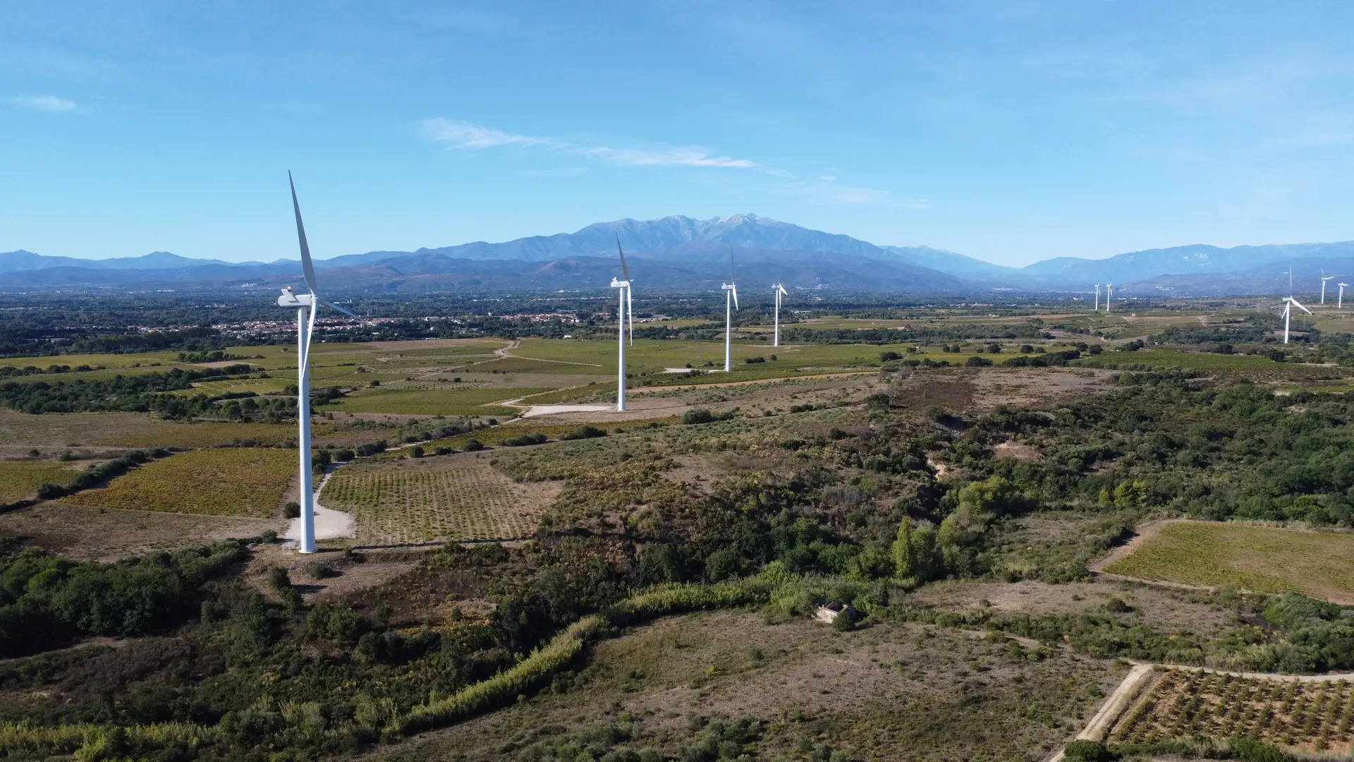
Parc éolien de Calce. Accès par une piste en terre proche de l'usine d'incinération Sydetom 66. ⚠ Le vent est parfois très fort (c'est pour ça que les éoliennes ont été installées ici)
No comments yet. Be the first!
Parc éolien de Calce. Accès par une piste en terre proche de l'usine d'incinération Sydetom 66. ⚠ Le vent est parfois très fort (c'est pour ça que les éoliennes ont été installées ici)
Conditional: operator approval
You can fly with the approval of the zone operator.
Max height : 50 m
Flying requires the approval of: Organisme fournissant le service de contrôle de la circulation aérienne, à défaut, prestataire du service d'information de vol de l'aérodrome, à défaut, exploitant de l'aérodrome.
The zone starts 50 m above the ground: stay below it.
The DGAC restrictions map limits flight height to 50 m.
A local order (prefecture, town hall) may also restrict flying. Stay alert on site.
Computed on November 15 at 12:56 AM
See on the mapPlan your flights in advance and find your windows with access to detailed 10-day forecasts showing conditions, satellites, wind, kp index, and more.