1. Home
  2. France
  3. Nouvelle-Aquitaine
  4. Cambo-les-Bains
Cambo-les-Bains

Thermes de Cambo-les-Bains

Coordinates43.35345, -1.38408
Published byzepdji
01 Aug 2024 · 08:14 PM
Community score
0

Log in to vote

Categories
🌊 Plan d'eau
Aviation weather· 04
Flight footage· 05
Comments· 06

No comments yet. Be the first!

Log in to comment

Nearby spots· 07
  • Pont d’IzokiItxassou5 km
  • L'ArtzamendiItxassou8 km
  • Mirador de souraideSouraïde9.3 km
  • Mirador de souraideSouraïde9.3 km
  • IparlaBaztan13.9 km
  • Roble milenarioUrdazubi14 km
  • L'Ile de LahonceUrt17.2 km
  • Plage d'Arrotze, GuétharyGuéthary20.3 km
Live wind· 08
Windy
Thermes de Cambo-les-Bains
Pilot briefing
Difficulty
2/3
Medium
Accessibility
2/3
Moderately accessible
Description

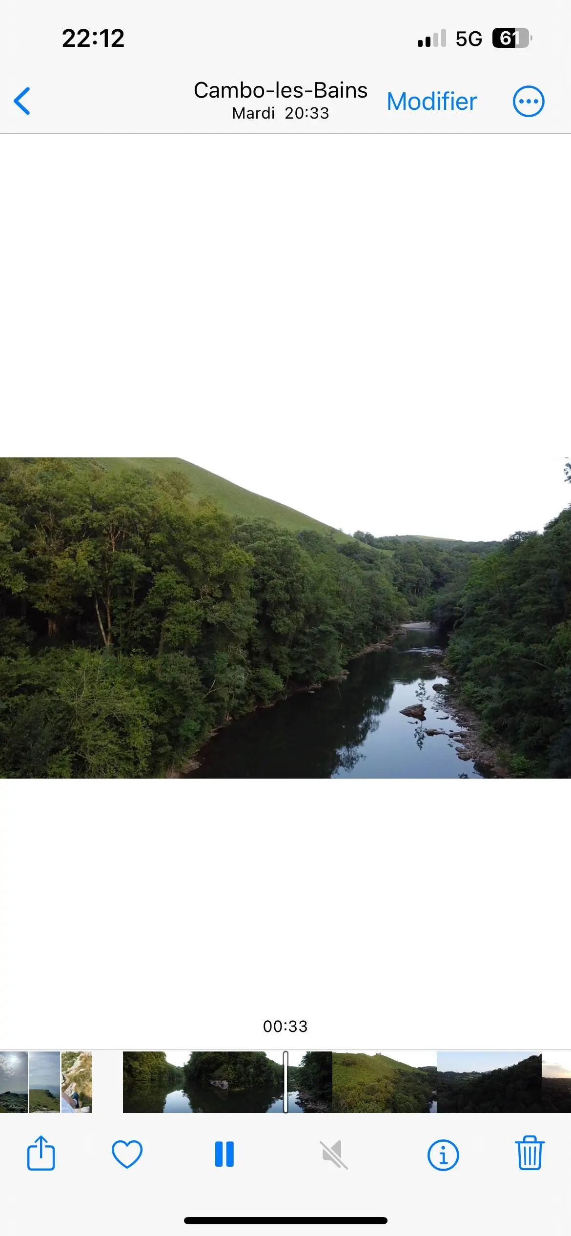
Élevez votre passion pour le drone au-dessus des Thermes de Cambo-les-Bains et de la Nive qui les longe ! Immergez-vous dans la sérénité de cet endroit enchanteur, où l'architecture élégante des thermes se marie harmonieusement avec la nature luxuriante. Envolez-vous pour capturer des vues spectaculaires de la rivière sinueuse entourée de verdure, révélant des reflets scintillants et des perspectives uniques. Chaque vol offre une nouvelle opportunité d'immortaliser la tranquillité et la beauté de ce cadre idyllique. Préparez-vous à enrichir votre collection avec des images inoubliables et à vivre une expérience aérienne exceptionnelle !
Can I fly here?· 03

50 m maximum

You can fly up to 50 m above the ground.

Max height : 50 m

  • Height limited to 50 mConditional

    The DGAC restrictions map limits flight height to 50 m.

  • [LF][VOLTAC DAX S]No known restriction

    Military training sector, inactive at that time: nothing to do.

  • La NiveNo known restriction

    Protected area with no known overflight ban. Respect wildlife and plants.

A local order (prefecture, town hall) may also restrict flying. Stay alert on site.

Computed on November 15 at 12:53 AM

See on the map
Sat, Nov 14
11:53 PM
Conditions
Sunrise
Sunset
Precipitations
Temperature
KP index
Cloud cover
Wind speed
Wind gust
Visibility
Humidity
Satellites
DroneSpot Pro

Plan your flights in advance and find your windows with access to detailed 10-day forecasts showing conditions, satellites, wind, kp index, and more.