1. Home
  2. France
  3. Nouvelle-Aquitaine
  4. Montagne
Montagne

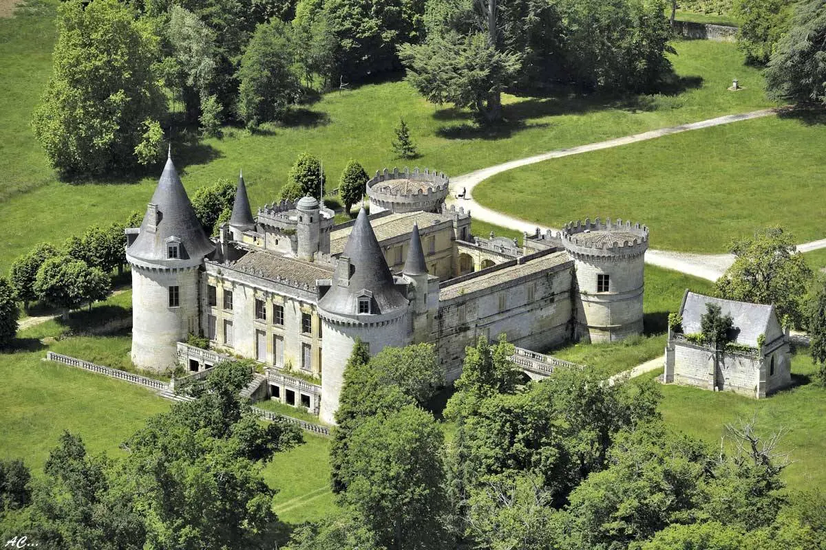
Chateau des Tours

Coordinates44.92562, -0.11894
Published bypassiondrone
23 Feb 2025 · 11:22 AM
Community score
0

Log in to vote

Categories
🌳 Arbres
Aviation weather· 04
Flight footage· 05
Comments· 06

No comments yet. Be the first!

Log in to comment

Nearby spots· 07
  • Château des ToursMontagne< 1 km
  • Les moulins de calonMontagne2.1 km
  • Saint ÉmilionSaint-Émilion4.5 km
  • Menhir de PeyrefitteSaint-Sulpice-de-Faleyrens7.9 km
  • Lac des daguetsLibourne10.4 km
  • Moulin à saint Aubin de BranneSaint-Aubin-de-Branne13.9 km
  • Lac de CadarsacCadarsac14.7 km
  • Vignoble château fageNérigean16.1 km
Live wind· 08
Windy
Chateau des Tours
Pilot briefing
Difficulty
2/3
Medium
Accessibility
1/3
Easy to access
Description

Très beau Château au dessue de Saint Emilion direction montagne . Accédé en voiture chemin a l'arrière du château le reste a pieds. Lieu abandonnée
Can I fly here?· 03

76 m maximum

You can fly up to 76 m above the ground.

Max height : 76 m

  • Height limited to 76 mConditional

    The DGAC restrictions map limits flight height to 76 m.

A local order (prefecture, town hall) may also restrict flying. Stay alert on site.

Computed on November 15 at 01:18 AM

See on the map
Sun, Nov 15
12:18 AM
Conditions
Sunrise
Sunset
Precipitations
Temperature
KP index
Cloud cover
Wind speed
Wind gust
Visibility
Humidity
Satellites
DroneSpot Pro

Plan your flights in advance and find your windows with access to detailed 10-day forecasts showing conditions, satellites, wind, kp index, and more.