1. Home
  2. France
  3. Provence-Alpes-Côte d'Azur
  4. Malijai
Malijai

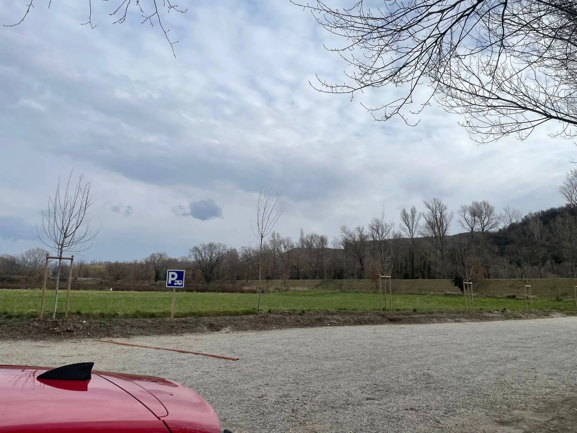
Air camping-car Malijai

Coordinates44.04484, 6.03764
Published byspv04
01 Mar 2025 · 02:27 PM
Community score
0

Log in to vote

Categories
🌳 Arbres
Aviation weather· 04
Comments· 05

No comments yet. Be the first!

Log in to comment

Nearby spots· 06
  • Eglise d'EntrevennesEntrevennes11.9 km
  • RuineValensole20.8 km
  • Plateau de ValensoleValensole21.7 km
  • Lavandes de ValensoleValensole25.8 km
  • Les Clues de BarlesLa Javie27.2 km
  • plage de Chabassole Lac de Sté CroixAiguines31.8 km
  • Lac de Sainte CroixMoustiers-Sainte-Marie31.9 km
  • Gorges du VerdonMoustiers-Sainte-Marie31.9 km
Live wind· 07
Windy
Air camping-car Malijai
Pilot briefing
Difficulty
2/3
Medium
Accessibility
2/3
Moderately accessible
Description

Conditions de vol favorable, aucun obstacle aux alentours
Restrictions here· 03
2 active rules
  • Château Arnoux Saint Auban (Saint-Auban) — Volume 100 mAerodrome / other · ≤ 100 m
  • [LF][VOLTAC LUC]Aerodrome / other · No-fly
Tue, Nov 10
10:54 AM
Conditions
Sunrise
Sunset
Precipitations
Temperature
KP index
Cloud cover
Wind speed
Wind gust
Visibility
Humidity
Satellites
DroneSpot Pro

Plan your flights in advance and find your windows with access to detailed 10-day forecasts showing conditions, satellites, wind, kp index, and more.