1. Home
  2. France
  3. Charente-Maritime
  4. Saint-Denis-d'Oléron
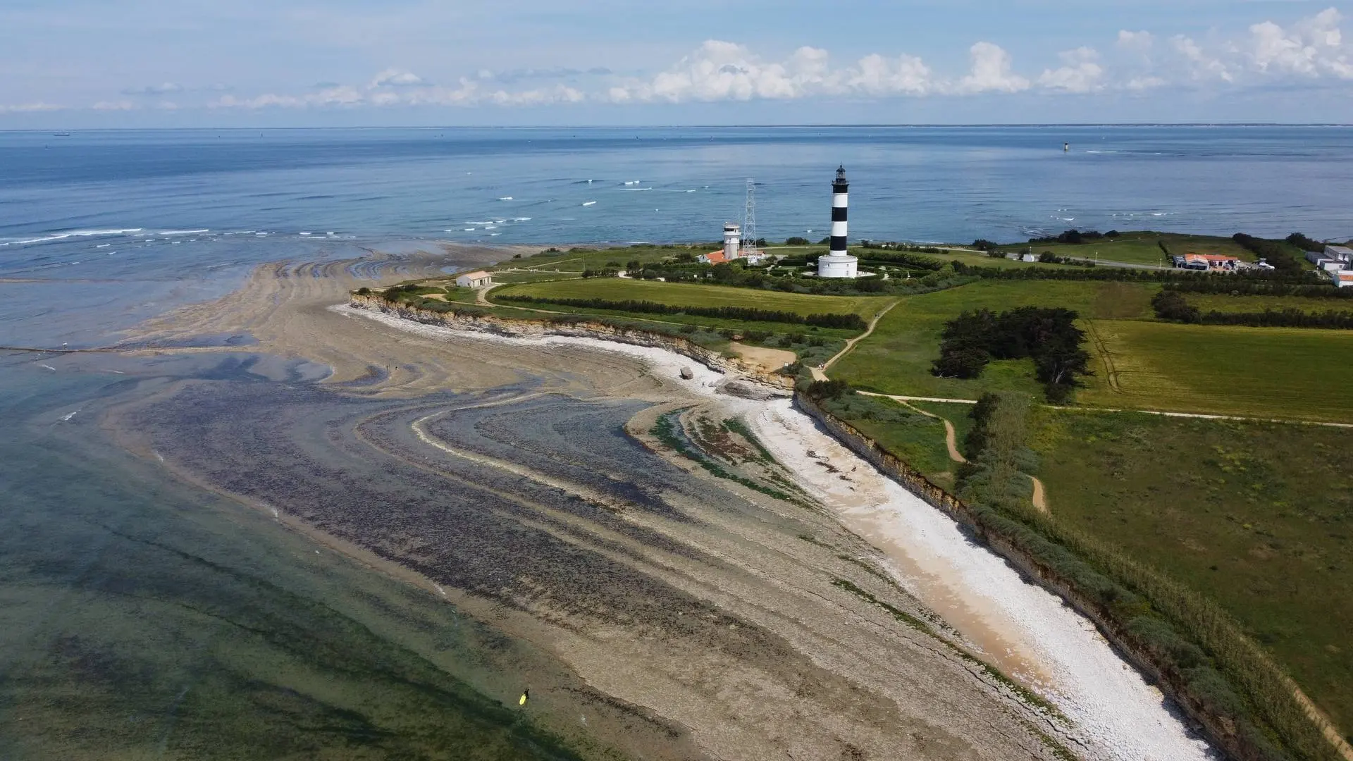
Saint-Denis-d'Oléron

Phare

Coordinates46.04526, -1.41135
Published bykev44
10 May 2025 · 03:06 PM
Community score
0

Log in to vote

Categories
🌊 Plan d'eau
Aviation weather· 04
Comments· 05

No comments yet. Be the first!

Log in to comment

Nearby spots· 06
  • Ecluse à poissonSaint-Denis-d'Oléron< 1 km
  • phare de chassironSaint-Denis-d'Oléron< 1 km
  • Fort boyardîle d'Oléron16.1 km
  • Phare île d’aixÎle-d'Aix18.4 km
  • Tour KAROLAArs-en-Ré20.9 km
  • Fort EnetFouras21.2 km
  • FourasFouras22.9 km
  • FourasFouras23 km
Live wind· 07
Windy
Phare
Pilot briefing
Difficulty
2/3
Medium
Accessibility
2/3
Moderately accessible
Description

Accès très facile

Restrictions here· 03
2 active rules
  • Création de Zones Réglementées Temporaires (ZRT) et de zones dangereuses temporaires (ZDT) au profit de la DGA Essais de Missiles, et FBZ associéesSUP AIP 207/2025
  • Création d'une Zone Réglementée/Dangereuse Temporaire (ZRT/ZDT) pour l’opération BROMO dans l’Atlantique et FBZ associéeSUP AIP 222/2026
Tue, Nov 10
4:43 PM
Conditions
Sunrise
Sunset
Precipitations
Temperature
KP index
Cloud cover
Wind speed
Wind gust
Visibility
Humidity
Satellites
DroneSpot Pro

Plan your flights in advance and find your windows with access to detailed 10-day forecasts showing conditions, satellites, wind, kp index, and more.