Magnifique paysage autour en accès gratuit, la plupart de l’année, à part endetter où ça ne coûte que un à deux euros quelques arbres aux alentours, je vous conseille de sécurité élevé tout de suite suite à une hauteur d’environ 35 m au minimum mais le paysage est vraiment magnifique et la vue sur le plan d’eau est super bon conseiller en particulier pour tout qui habite à Strasbourg car c’est très près
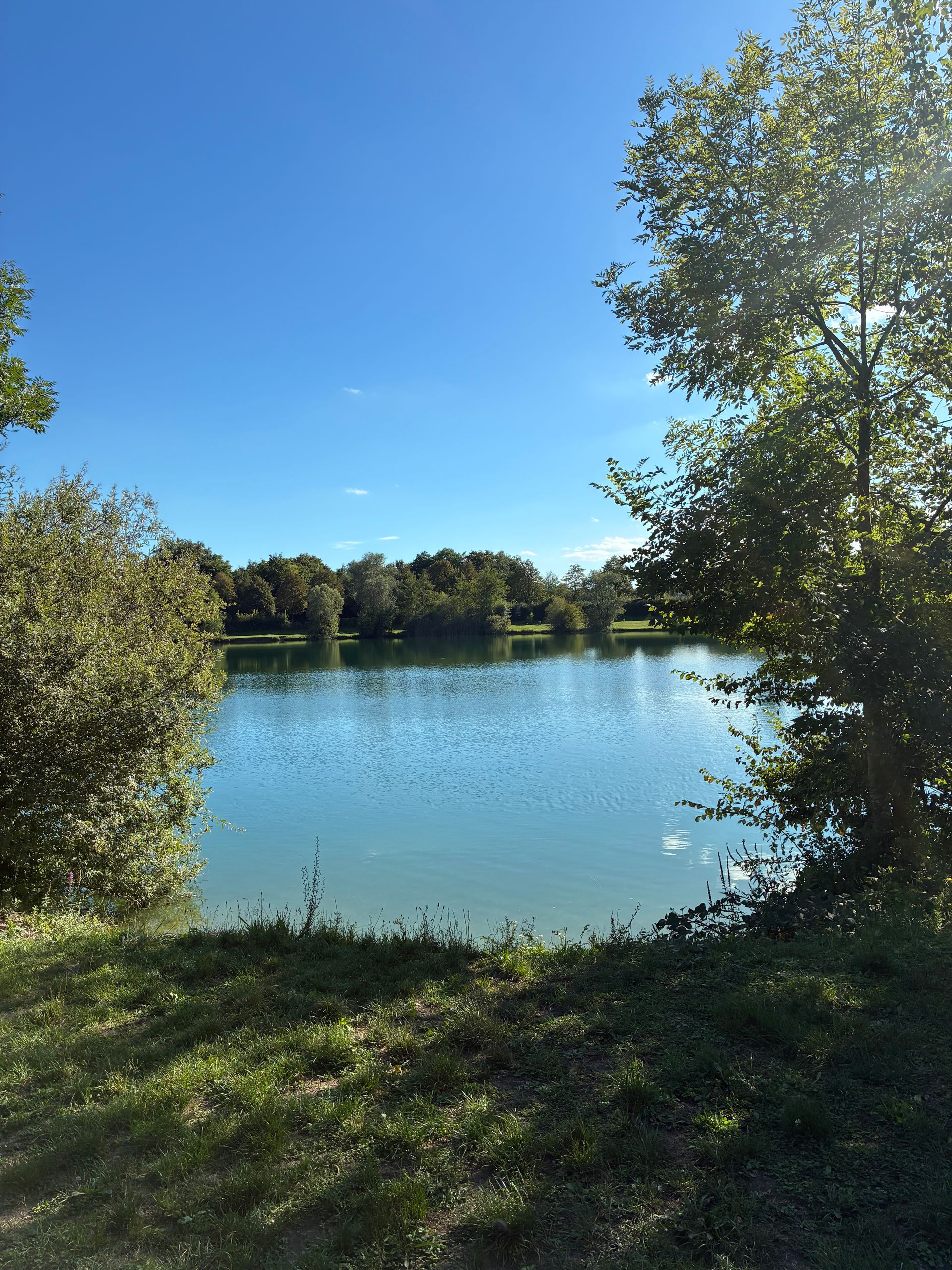
Huttenheim
Plan d’eau à Huttenheim Bas-Rin
Restrictions here· 03
No known restrictions at this point.
Always cross-check before flying — coverage depends on your country's published data.
Aviation weather· 04
Comments· 05
No comments yet. Be the first!
Live wind· 06