1. Home
  2. France
  3. Auvergne-Rhône-Alpes
  4. Grenoble
Grenoble

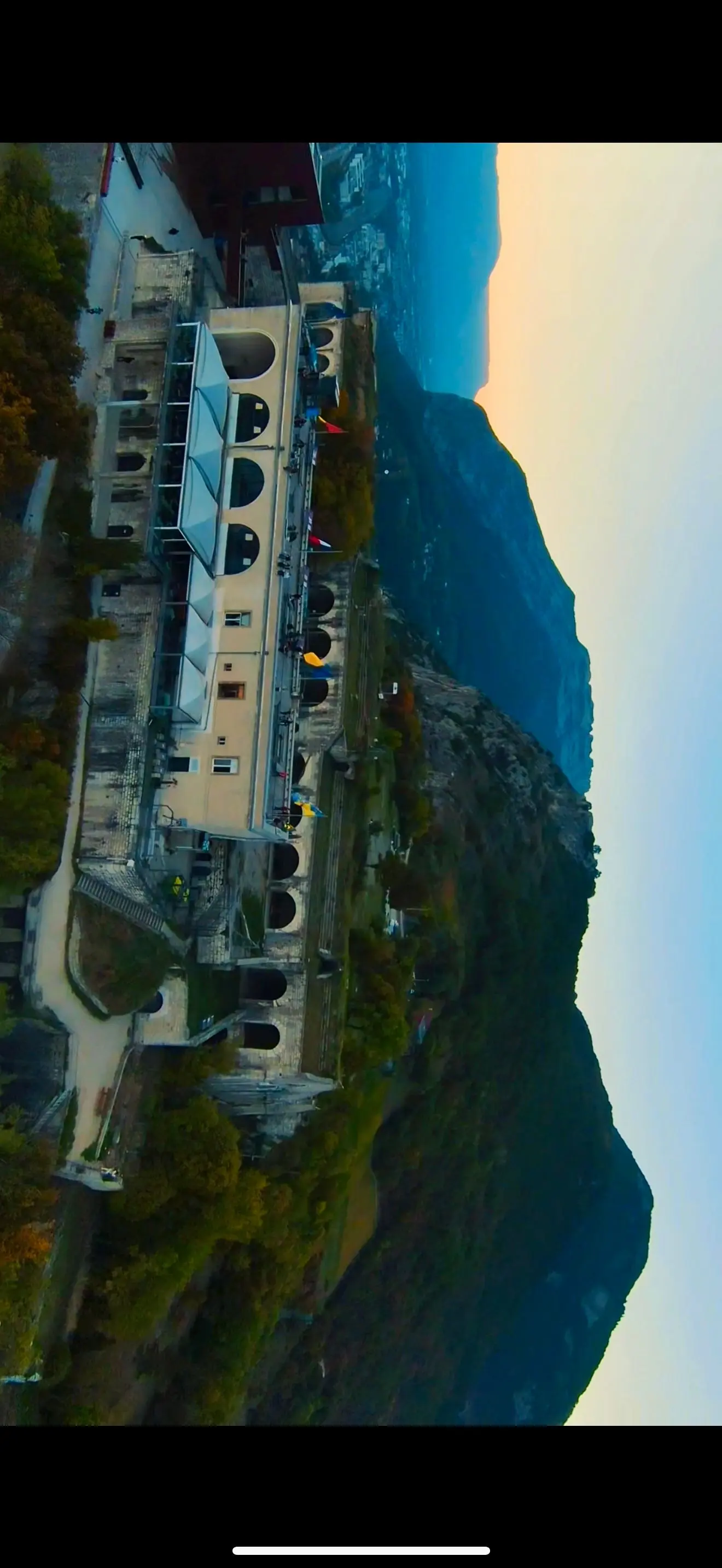
Entre ciel et montagnes – La Bastille de Grenoble

Coordinates45.19889, 5.72526
Published byFalconSAR38
26 Oct 2025 · 01:19 PM
Community score
0

Log in to vote

Categories
📡 Long range🌳 Arbres🏠 Indoor
Aviation weather· 04
Comments· 05

No comments yet. Be the first!

Log in to comment

Nearby spots· 06
  • Grenoble, joyau des montagnesGrenoble< 1 km
  • La ferme froussard Fontaine5.1 km
  • meylanMeylan5.1 km
  • Batterie du Néron Quaix-en-Chartreuse5.4 km
  • Champ DuretVenon6.1 km
  • Vallée du Sappey en ChartreuseLe Sappey-en-Chartreuse6.2 km
  • Fort de ComboireClaix7.8 km
  • Tremplin Olympique D'hiver GrenobleSaint-Nizier-du-Moucherotte8.2 km
Live wind· 07
Windy
Entre ciel et montagnes – La Bastille de Grenoble
Pilot briefing
Difficulty
2/3
Medium
Accessibility
2/3
Moderately accessible
Description

Suspendu entre les nuages et la pierre, le Fort de la Bastille veille sur Grenoble. Une vue aérienne où la nature et l’histoire se rencontrent dans la lumière alpine.
Restrictions here· 03
1 active rule
  • Hélistation GRENOBLE HOPITAL NORDAerodrome / other · authorisation required from ground · 2 layers
Tue, Nov 10
3:33 AM
Conditions
Sunrise
Sunset
Precipitations
Temperature
KP index
Cloud cover
Wind speed
Wind gust
Visibility
Humidity
Satellites
DroneSpot Pro

Plan your flights in advance and find your windows with access to detailed 10-day forecasts showing conditions, satellites, wind, kp index, and more.