1. Home
  2. France
  3. Bretagne
  4. Plévenon
Plévenon

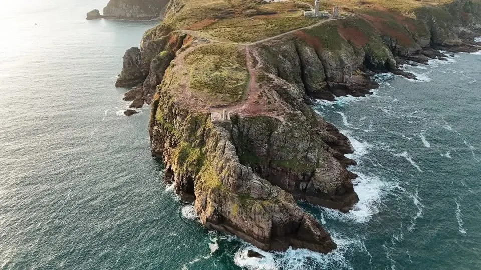
Cap Fréhel

Coordinates48.68576, -2.31887
Published bytotof496
08 Dec 2025 · 09:32 AM
Community score
0

Log in to vote

Categories
🌊 Plan d'eau
Aviation weather· 04
Flight footage· 05
Comments· 06

No comments yet. Be the first!

Log in to comment

Nearby spots· 07
  • Cap FréhelPlévenon< 1 km
  • Fort la lattePlévenon3.2 km
  • Les grèves d’en basFréhel3.6 km
  • Pointe du ChâteletSaint-Cast-le-Guildo6.2 km
  • bras de merMatignon7.1 km
  • Ilot St-MichelErquy8.5 km
  • Cap d'ErquyErquy12.9 km
  • Cap d'ErquyErquy13.1 km
Live wind· 08
Windy
Cap Fréhel
Pilot briefing
Difficulty
2/3
Medium
Accessibility
2/3
Moderately accessible
Description

100 mètre à pied du parking

Restrictions here· 03
1 active rule
  • Création d’une zone réglementée temporaire (ZRT) dans la CTR 1 de Dinard et la TMA 4 Rennes à l’occasion du départ de la course nautique transatlantique "Route du Rhum" édition 2026SUP AIP 225/2026
Tue, Nov 10
3:52 AM
Conditions
Sunrise
Sunset
Precipitations
Temperature
KP index
Cloud cover
Wind speed
Wind gust
Visibility
Humidity
Satellites
DroneSpot Pro

Plan your flights in advance and find your windows with access to detailed 10-day forecasts showing conditions, satellites, wind, kp index, and more.