1. Home
  2. France
  3. Hauts-de-France
  4. Amiens
Amiens

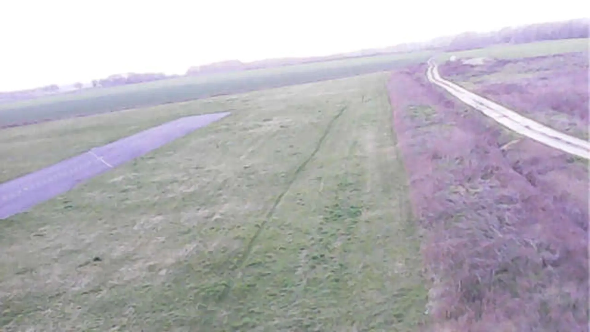
Route de champs

Coordinates49.89541, 2.23603
Published bydronepiR
06 Mar 2026 · 05:49 PM
Community score
0

Log in to vote

Categories
🌳 Arbres
Aviation weather· 04
Comments· 05

No comments yet. Be the first!

Log in to comment

Nearby spots· 06
  • Château de PicquignyPicquigny8.6 km
  • Marais de Belloy sur sommeBelloy-sur-Somme11 km
  • La colonne faidherbePont-Noyelles16.3 km
  • Memorial australienFouilloy19.9 km
  • théâtre gallo-romainVendeuil-Caply32.1 km
  • Étang proche d’albertAveluy32.9 km
  • La coulée verteCrèvecœur-le-Grand33.2 km
  • Trou de mine de La BoisselleOvillers-la-Boisselle35.6 km
Live wind· 07
Windy
Route de champs
Pilot briefing
Difficulty
2/3
Medium
Accessibility
2/3
Moderately accessible
Description

Parfait !

Restrictions here· 03
2 active rules
  • Hélistation AMIENS CENTRE HOSPITALIER UNIVERSITAIRE SUD 1Aerodrome / other · ≤ ~111 m
  • Hélistation AMIENS CENTRE HOSPITALIER UNIVERSITAIRE SUD 2Aerodrome / other · ≤ ~120 m
Tue, Nov 10
10:34 PM
Conditions
Sunrise
Sunset
Precipitations
Temperature
KP index
Cloud cover
Wind speed
Wind gust
Visibility
Humidity
Satellites
DroneSpot Pro

Plan your flights in advance and find your windows with access to detailed 10-day forecasts showing conditions, satellites, wind, kp index, and more.