1. Home
  2. France
  3. Île-de-France
  4. Rennemoulin
Rennemoulin

Chemin de la Chapelle - Rennemoulin

Coordinates48.83558, 2.03790
Published byBouana
15 Mar 2026 · 05:07 PM
Community score
0

Log in to vote

Categories
➰ Freestyle📡 Long range
Aviation weather· 04
Flight footage· 05
Comments· 06

No comments yet. Be the first!

Log in to comment

Nearby spots· 07
  • Chemin parallèle proche RennemoulinNoisy-le-Roi1.5 km
  • D161 chemin parallèleNoisy-le-Roi1.5 km
  • Chemin de la ferme des MoulineauxNoisy-le-Roi2 km
  • Route du viviers aux MoinesSaint-Nom-la-Bretèche2.5 km
  • Route plantée forêt de MarlyL'Étang-la-Ville2.9 km
  • ChèvreloupBailly3.4 km
  • Allée de BaillyBailly3.9 km
  • Jardins du Chateau de VersaillesVersailles4.4 km
Live wind· 08
Windy
Chemin de la Chapelle - Rennemoulin
Pilot briefing
Difficulty
3/3
Hard Level
Accessibility
3/3
Difficult to access
Description

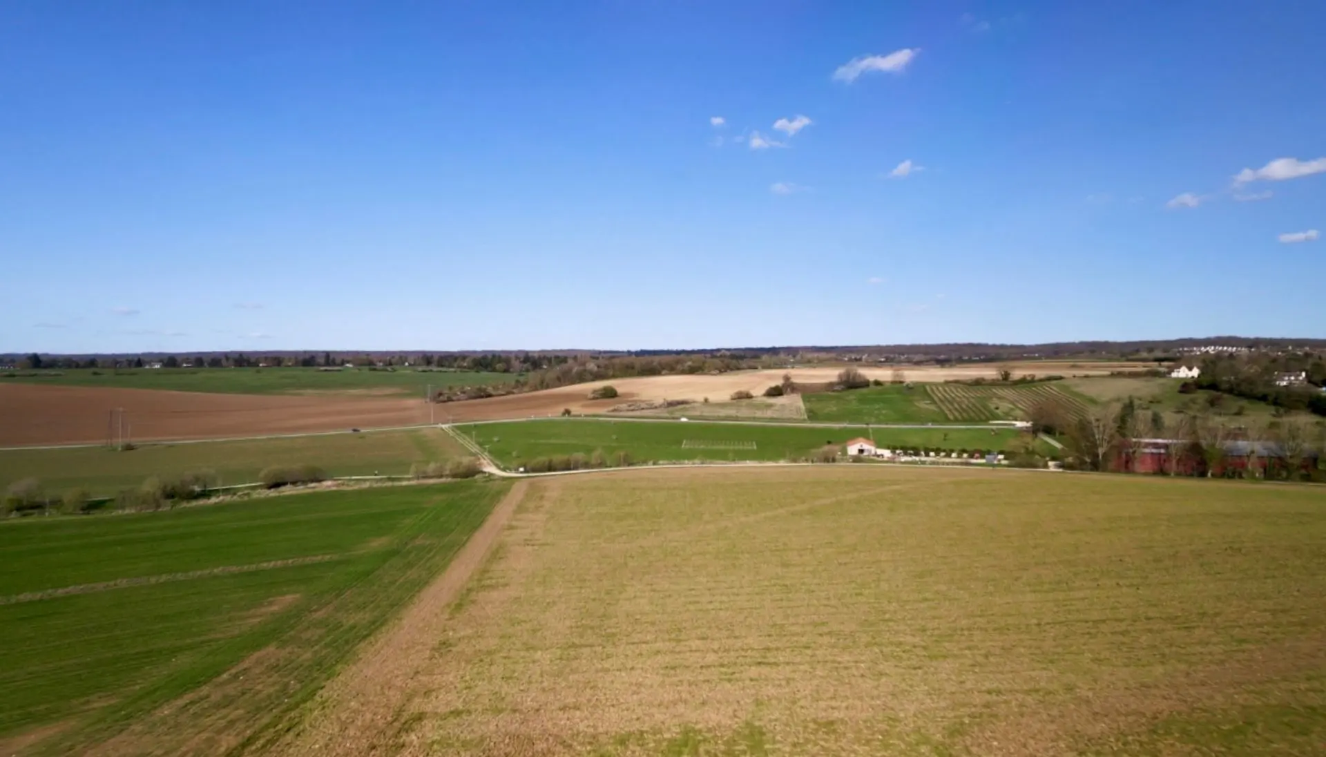
Champs dégagés, décollage depuis le chemin de randonneur/vélo. Altitude max 50m. Attention au couloir aérien des aéronefs plus haut.
Restrictions here· 03
9 active rules
  • Chavenay Villepreux (Chavenay) — Volume 100 mAerodrome / other · ≤ 100 m
  • Saint Cyr l'Ecole (St Cyr l'Ecole) — Volume 50 mAerodrome / other · ≤ 50 m
  • Piste 11L/29R aérodrome SAINT CYR L'ECOLE LFPZAerodrome / other · ≤ ~75 m · 2 layers
  • Piste 11R/29L aérodrome SAINT CYR L'ECOLE LFPZAerodrome / other · ≤ ~75 m · 2 layers
  • Hélistation SAINT CYR L'ECOLEAerodrome / other · ≤ ~120 m
  • [LF][R 324] VEILLE REGION PARISIENNERestricted · No-fly
  • RTUpcoming
  • OBActive now
  • OBActive now
Tue, Nov 10
5:51 PM
Conditions
Sunrise
Sunset
Precipitations
Temperature
KP index
Cloud cover
Wind speed
Wind gust
Visibility
Humidity
Satellites
DroneSpot Pro

Plan your flights in advance and find your windows with access to detailed 10-day forecasts showing conditions, satellites, wind, kp index, and more.