1. Home
  2. France
  3. Côtes-d'Armor
  4. Île-de-Bréhat
Île-de-Bréhat

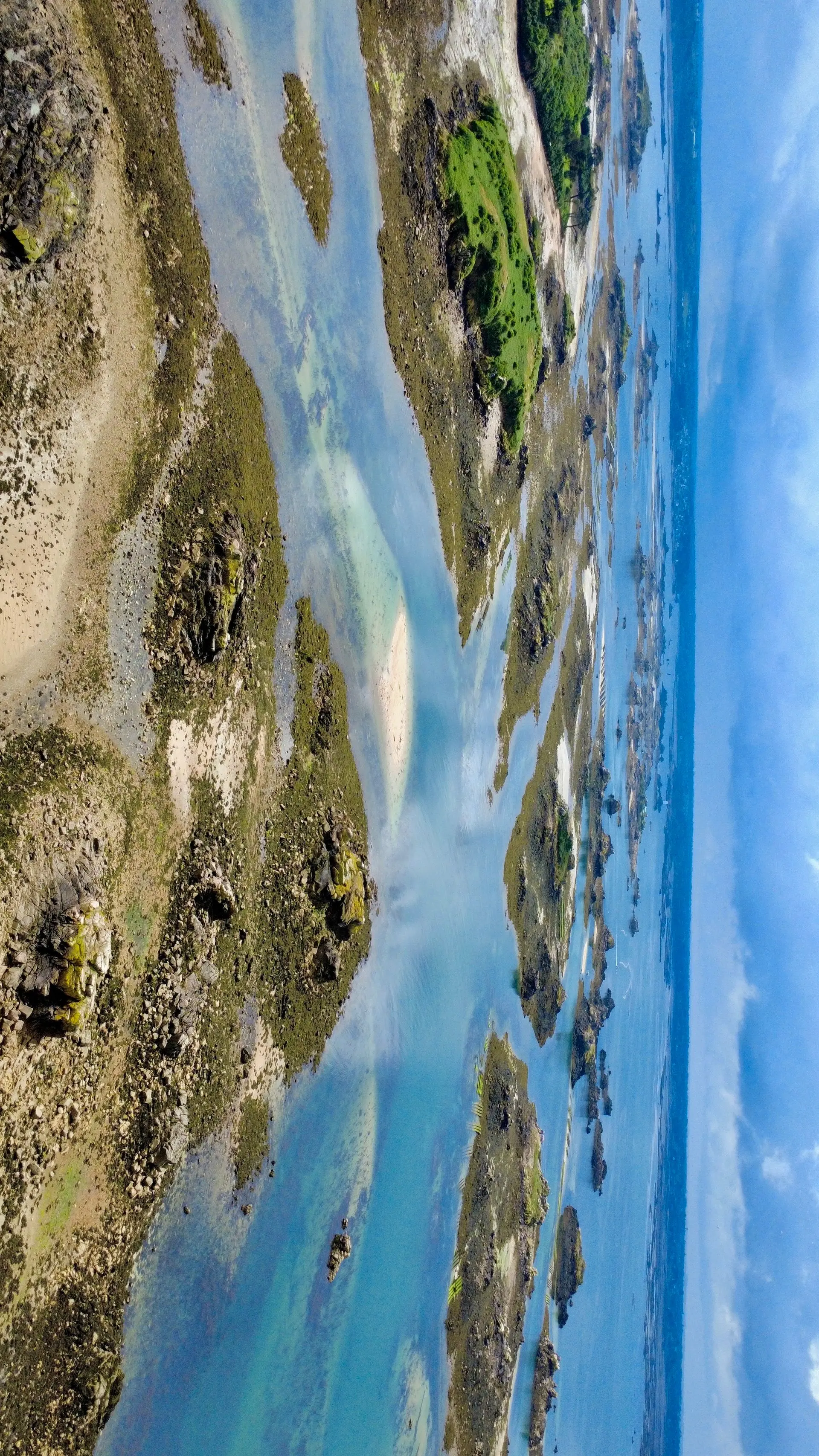
Archipel de Bréhat

Coordinates48.85124, -3.00564
Published byjeannecht
05 May 2026 · 10:35 AM
Community score
0

Log in to vote

Categories
🌊 Plan d'eau
Aviation weather· 04
Comments· 05

No comments yet. Be the first!

Log in to comment

Nearby spots· 06
  • Paimpol, pointe de Guilben et tour de Kerroc'hPaimpol7.7 km
  • Table d’orientation et ruinePleubian8.1 km
  • Moulin de CracaPlouézec10.3 km
  • Pointe de MinardPlouézec12.1 km
  • Pointe de la tourPlouha15.6 km
  • Plage BonapartePlouha17 km
  • Plage de bonaparte/ Pointe de la tourPlouha17.1 km
  • Tréguier portTréguier17.4 km
Live wind· 07
Windy
Archipel de Bréhat
Pilot briefing
Difficulty
2/3
Medium
Accessibility
2/3
Moderately accessible
Description

Entre deux pluies, spot incroyable
Restrictions here· 03

No known restrictions at this point.

Always cross-check before flying — coverage depends on your country's published data.

Tue, Nov 10
10:18 PM
Conditions
Sunrise
Sunset
Precipitations
Temperature
KP index
Cloud cover
Wind speed
Wind gust
Visibility
Humidity
Satellites
DroneSpot Pro

Plan your flights in advance and find your windows with access to detailed 10-day forecasts showing conditions, satellites, wind, kp index, and more.