1. Home
  2. France
  3. Occitanie
  4. Sainte-Cécile-d'Andorge
Sainte-Cécile-d'Andorge

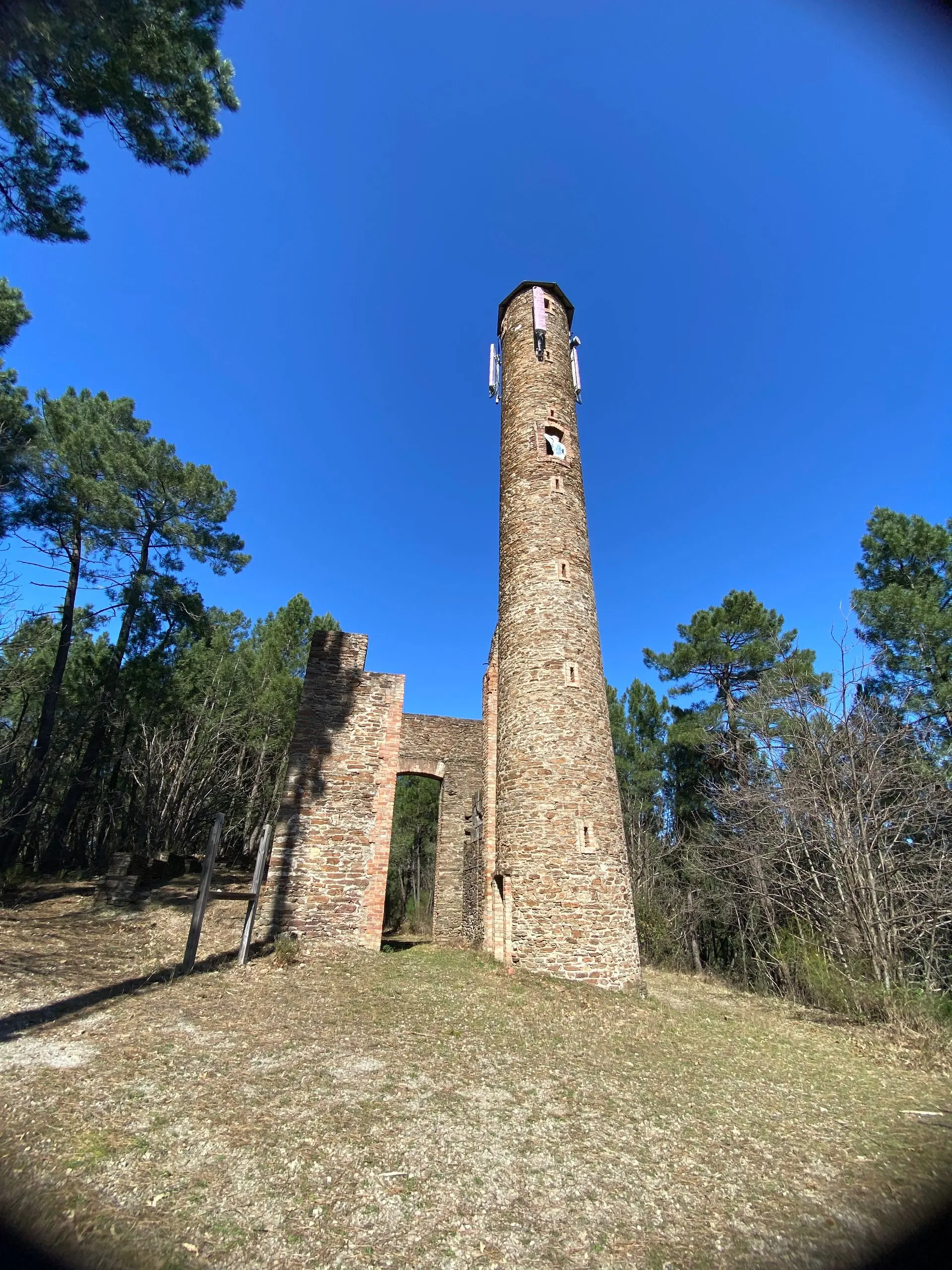
Tour du Simonet

Coordinates44.24192, 3.99346
Published bymaxuel
25 May 2026 · 01:08 PM
Community score
0

Log in to vote

Categories
🌳 Arbres
Aviation weather· 04
Comments· 05

No comments yet. Be the first!

Log in to comment

Nearby spots· 06
  • Barrage des CambousBranoux-les-Taillades< 1 km
  • Château de Porte, le vaisseau des CévennesPortes4 km
  • Château de portesPortes4.1 km
  • ChamborigaudChamborigaud7 km
  • MercoirolLaval-Pradel7.1 km
  • Barrage de ChenessasChambon9.6 km
  • CracierAlès12.8 km
  • Lac de roussonRousson14.2 km
Live wind· 07
Windy
Tour du Simonet
Pilot briefing
Difficulty
2/3
Medium
Accessibility
2/3
Moderately accessible
Description

Site d’ancien vestige minier, il y a des belle prise de vue mais une hauteur maximale de vol de 50 m, mais ça suffit à faire de beau plan.
Restrictions here· 03
3 active rules
  • La Grande Combe — Volume 50 mAerodrome / other · ≤ 50 m
  • RRUpcoming
  • Création de Zones Réglementées Temporaires (ZRT) au profit de l'exercice RW MC COURSE 2026, en régions CENTRE et SUD-ESTSUP AIP 236/2026
Mon, Nov 9
7:15 PM
Conditions
Sunrise
Sunset
Precipitations
Temperature
KP index
Cloud cover
Wind speed
Wind gust
Visibility
Humidity
Satellites
DroneSpot Pro

Plan your flights in advance and find your windows with access to detailed 10-day forecasts showing conditions, satellites, wind, kp index, and more.