1. Home
  2. France
  3. Île-de-France
  4. Essonne
  5. Gometz-le-Châtel
Gometz-le-Châtel

Bassin d'Armand

Coordinates48.68548, 2.13484
Published by[email protected]
20 Jun 2026 · 12:58 PM
Community score
+1

Log in to vote

Categories
➰ Freestyle🌳 Arbres
Aviation weather· 04
Comments· 05

No comments yet. Be the first!

Log in to comment

Nearby spots· 06
  • Viaduc des fauvettesBures-sur-Yvette1.5 km
  • ArdillièreForges-les-Bains5.9 km
  • Tour de montlheryMontlhéry11.6 km
  • Parc de la noisetteVerrières-le-Buisson12.9 km
  • st CheronSaint-Maurice-Montcouronne13.6 km
  • Bassin VersailleVersailles14.4 km
  • SQY Drone (Club de drone)Trappes14.7 km
  • Jardins du Chateau de VersaillesVersailles14.7 km
Live wind· 07
Windy
Bassin d'Armand
Pilot briefing
Difficulty
2/3
Medium
Accessibility
2/3
Moderately accessible
Description

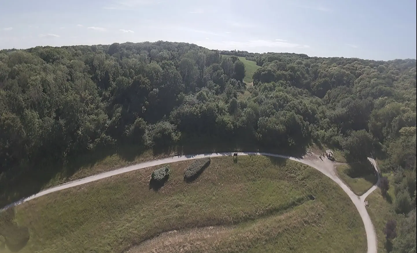
zone pas très grande mais au calme avec peu de passage. Pour y accéder une bonne 20aine de marche dans la forêt, très agréable.
Can I fly here?· 03

Prohibited

At least one restriction prohibits flying at this spot.

Max height : —

  • [LF][R 324] VEILLE REGION PARISIENNEProhibited

    No-fly zone from the ground up.

  • Near an aerodromeConditional

    Above 97 m, the flight requires the agreement of the aerodrome operator or of air traffic control.

  • NOTAM P1119/26No known restriction

    NOTAM in force at this spot. Read it before flying.

  • NOTAM P1122/26No known restriction

    NOTAM in force at this spot. Read it before flying.

  • NOTAM W2493/26No known restriction

    NOTAM in force at this spot. Read it before flying.

A local order (prefecture, town hall) may also restrict flying. Stay alert on site.

Computed on November 16 at 02:38 PM

See on the map
Mon, Nov 16
1:38 PM
Conditions
Sunrise
Sunset
Precipitations
Temperature
KP index
Cloud cover
Wind speed
Wind gust
Visibility
Humidity
Satellites
DroneSpot Pro

Plan your flights in advance and find your windows with access to detailed 10-day forecasts showing conditions, satellites, wind, kp index, and more.