1. Home
  2. États-Unis
  3. Californie
  4. Orange
Orange

Telurosa Orange,CA

Coordinates33.77926, -117.84652
Published byMalcolmx
26 Jun 2026 · 08:23 PM
Community score
0

Log in to vote

Categories
➰ Freestyle🌳 Arbres🏁 Racing
Aviation weather· 04
Comments· 05

No comments yet. Be the first!

Log in to comment

Nearby spots· 06
  • Orange - Orange CountyOrange7.1 km
  • Huntington Beach - Orange CountyHuntington Beach17 km
  • Huntington Beach - Orange CountyHuntington Beach19.5 km
  • East Costal Peak - Newport CoastNewport Coast19.8 km
  • Marina - Long BeachLong Beach25 km
  • Long Beach - Los Angeles CountyLong Beach26.7 km
  • Eastside - Long BeachLong Beach27.5 km
  • Dawson Avenue - Signal HillSignal Hill29.6 km
Live wind· 07
Windy
Telurosa Orange,CA
Pilot briefing
Difficulty
2/3
Medium
Accessibility
2/3
Moderately accessible
Description

Small trail, no crowds. Plenty of structure for practicing controlled flight around trees and shrubbery. No
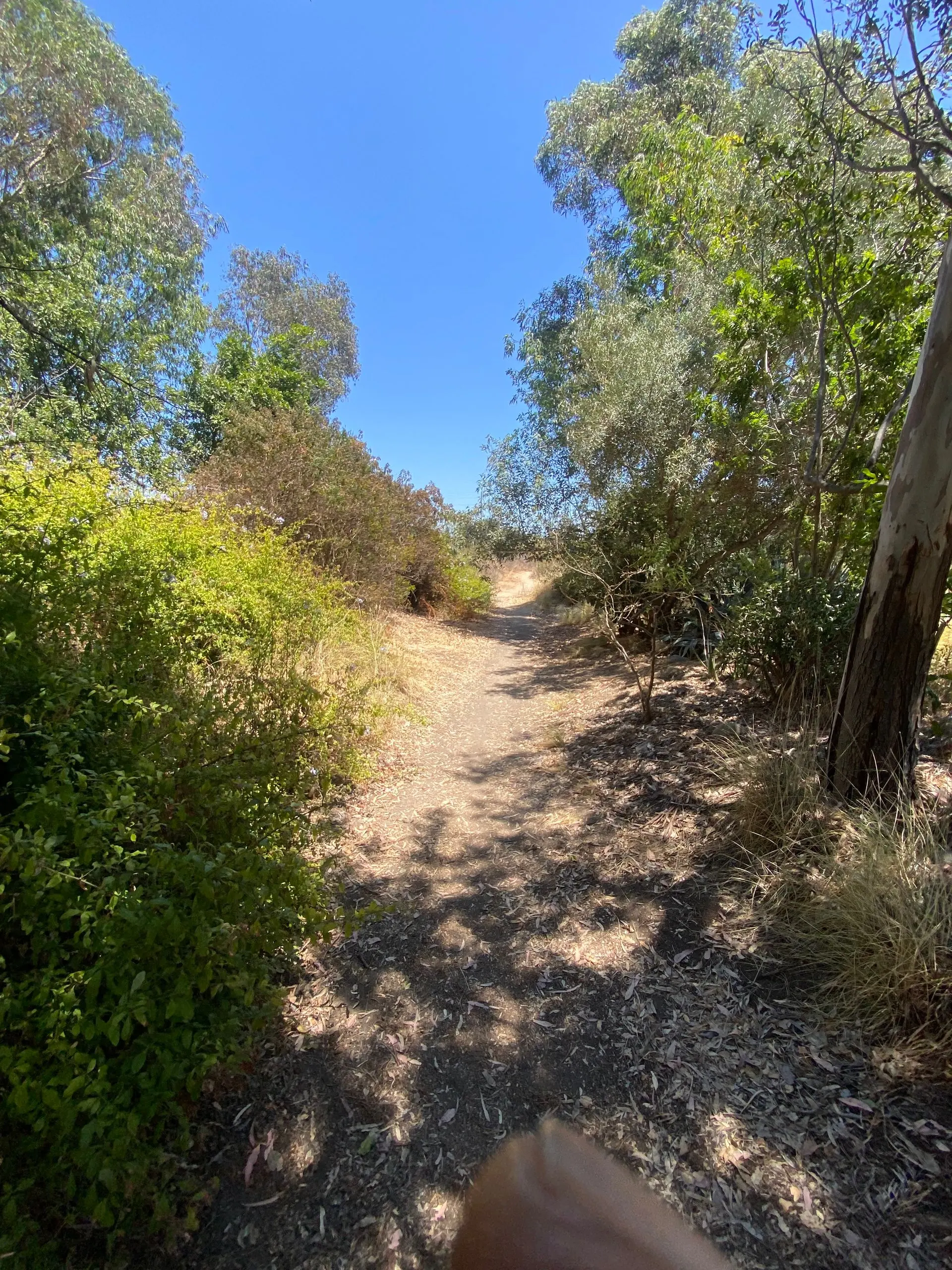
Restrictions here· 03

No known restrictions at this point.

Always cross-check before flying — coverage depends on your country's published data.

Wed, Nov 11
4:12 AM
Conditions
Sunrise
Sunset
Precipitations
Temperature
KP index
Cloud cover
Wind speed
Wind gust
Visibility
Humidity
Satellites
DroneSpot Pro

Plan your flights in advance and find your windows with access to detailed 10-day forecasts showing conditions, satellites, wind, kp index, and more.