1. Home
  2. France
  3. Morbihan
  4. Locmariaquer
Locmariaquer

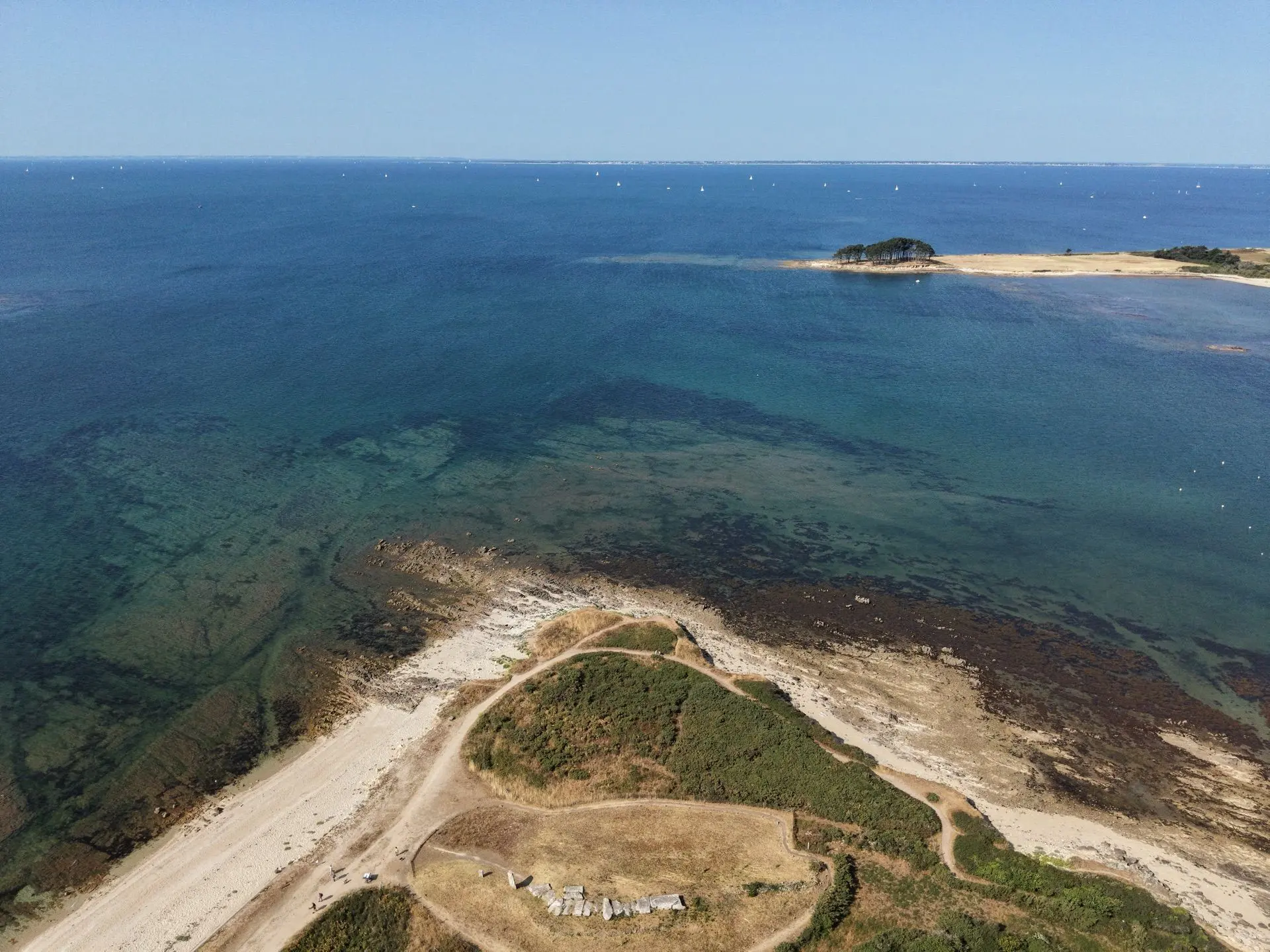
Dolmen des Pierres Plates

Coordinates47.55763, -2.95114
Published byTibo
27 Jul 2026 · 02:07 PM
Community score
0

Log in to vote

Categories
🌊 Plan d'eau
Aviation weather· 04
Comments· 05

No comments yet. Be the first!

Log in to comment

Nearby spots· 06
  • La pointe de KerpenhirLocmariaquer1.7 km
  • Pointe de Men-er-BellecSaint-Philibert2.9 km
  • Bute de CésarArzon6.2 km
  • Île de StuhanLa Trinité-sur-Mer7.2 km
  • Presqu’île de stuhanLa Trinité-sur-Mer7.2 km
  • ENVSNSaint-Pierre-Quiberon13.7 km
  • La Pointe du Percho - baie de QuiberonSaint-Pierre-Quiberon15.7 km
  • Baie du port BaraSaint-Pierre-Quiberon15.8 km
Live wind· 07
Windy
Dolmen des Pierres Plates
Pilot briefing
Difficulty
2/3
Medium
Accessibility
2/3
Moderately accessible
Description

Temps clair Très beau spot
Can I fly here?· 03

Prohibited

At least one restriction prohibits flying at this spot.

Max height : —

  • [LF][D 18 A2] Région maritime Atlantique BRESTProhibited

    Zone active under its published schedule. You can fly there with the approval of its operator.

  • No-fly areaProhibited

    The DGAC restrictions map prohibits flying here.

  • Golfe du MorbihanNo known restriction

    Protected area with no known overflight ban. Respect wildlife and plants.

  • Golfe du Morbihan, côte ouest de RhuysNo known restriction

    Protected area with no known overflight ban. Respect wildlife and plants.

  • Kerpenhir - loperecNo known restriction

    Protected area with no known overflight ban. Respect wildlife and plants.

A local order (prefecture, town hall) may also restrict flying. Stay alert on site.

Computed on November 15 at 01:05 AM

See on the map
Sun, Nov 15
12:05 AM
Conditions
Sunrise
Sunset
Precipitations
Temperature
KP index
Cloud cover
Wind speed
Wind gust
Visibility
Humidity
Satellites
DroneSpot Pro

Plan your flights in advance and find your windows with access to detailed 10-day forecasts showing conditions, satellites, wind, kp index, and more.