1. Home
  2. France
  3. Provence-Alpes-Côte d'Azur
  4. Var
  5. Le Revest-les-Eaux
Le Revest-les-Eaux

Mont caume

Coordinates43.18282, 5.90004
Published byVisiteur web
12 Dec 2018 · 12:00 AM
Community score
0

Log in to vote

Aviation weather· 04
Comments· 05

No comments yet. Be the first!

Log in to comment

Nearby spots· 06
  • Mont caumeÉvenos< 1 km
  • Lac de DardennesLe Revest-les-Eaux2.6 km
  • Carrière de MarbreÉvenos4.3 km
  • BandolLe Beausset8.8 km
  • Ancienne carrière Le Beausset9.1 km
  • Gros cerveau ollioulesSanary-sur-Mer9.5 km
  • Grotte du garouSanary-sur-Mer9.5 km
  • Pointe de la CrideSanary-sur-Mer13.2 km
Live wind· 07
Windy
Mont caume
Pilot briefing
Difficulty
2/3
Medium
Accessibility
1/3
Easy to access
Description

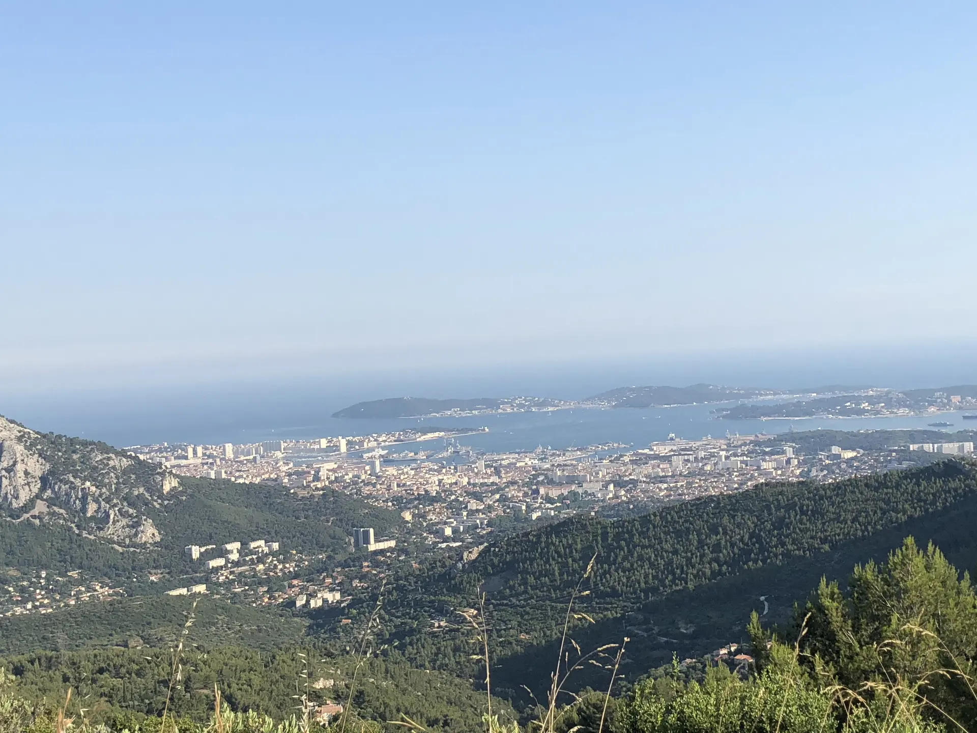
Super endroit superbe vue attention au vent car on se trouve à 804m
Can I fly here?· 03

To confirm: temporary area

A temporary area published by NOTAM or AIP SUP may cover this spot. Check its exact outline before flying.

Max height : 120 m

  • ZRT PARA CUERSTo be confirmed

    Temporary restricted area in force: no flying without the approval of its operator.

  • Mont Caume - mont Faron - forêt domaniale des MorièresNo known restriction

    Protected area with no known overflight ban. Respect wildlife and plants.

A local order (prefecture, town hall) may also restrict flying. Stay alert on site.

Computed on November 19 at 06:46 AM

See on the map
Thu, Nov 19
5:46 AM
Conditions
Sunrise
Sunset
Precipitations
Temperature
KP index
Cloud cover
Wind speed
Wind gust
Visibility
Humidity
Satellites
DroneSpot Pro

Plan your flights in advance and find your windows with access to detailed 10-day forecasts showing conditions, satellites, wind, kp index, and more.