1. Home
  2. France
  3. Nouvelle-Aquitaine
  4. Capbreton
Capbreton

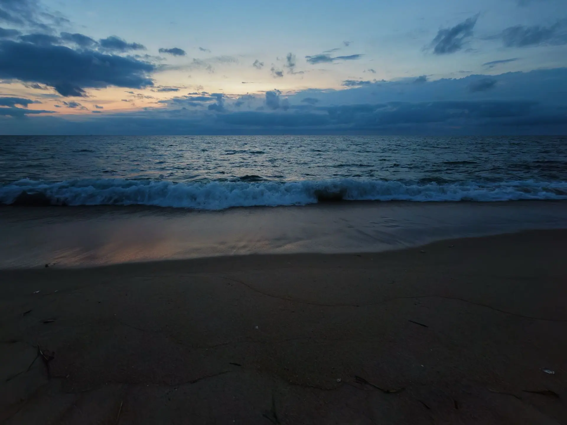
Plage des Océanides

Coordinates43.63660, -1.45019
Published byfab125
23 Aug 2026 · 12:53 PM
Community score
0

Log in to vote

Categories
🌊 Plan d'eau
Aviation weather· 04
Comments· 05

No comments yet. Be the first!

Log in to comment

Nearby spots· 06
  • Plage des OceanidesCapbreton< 1 km
  • Plage de la PisteCapbreton< 1 km
  • BlockhausCapbreton< 1 km
  • Le phareCapbreton2.1 km
  • Phare de capbretonCapbreton2.1 km
  • Plage sud d'Hossegor et phare de CapbretonSoorts-Hossegor2.5 km
  • Chapelle - Plage de Labenne OcéanLabenne3.6 km
  • Lac d'HossegorSoorts-Hossegor4 km
Live wind· 07
Windy
Plage des Océanides
Pilot briefing
Difficulty
2/3
Medium
Accessibility
2/3
Moderately accessible
Description

Très accessible est vraiment très beau
Can I fly here?· 03

Flight allowed

No regulated zone at this spot. Fly up to 120 m, in daylight, with your drone in sight, away from people.

Max height : 120 m

A local order (prefecture, town hall) may also restrict flying. Stay alert on site.

Computed on November 15 at 01:05 AM

See on the map
Sun, Nov 15
12:05 AM
Conditions
Sunrise
Sunset
Precipitations
Temperature
KP index
Cloud cover
Wind speed
Wind gust
Visibility
Humidity
Satellites
DroneSpot Pro

Plan your flights in advance and find your windows with access to detailed 10-day forecasts showing conditions, satellites, wind, kp index, and more.