1. Home
  2. France
  3. Corse
  4. Levie
Levie

🌊

Coordinates41.61507, 9.14917
Published bypilot_5212
27 Aug 2026 · 01:53 PM
Community score
0

Log in to vote

Categories
🌳 Arbres
Aviation weather· 04
Comments· 05

No comments yet. Be the first!

Log in to comment

Nearby spots· 06
  • 🪨 Sainte-Lucie-de-Tallano9.9 km
  • (:Olmiccia11.6 km
  • Plage de St CyprienLecci17 km
  • Phare de SenetosaFozzano17.9 km
  • Piscine naturelle de CavuZonza18.3 km
  • Baie de rondinaraBonifacio18.8 km
  • Forêt ZerubiaZérubia19 km
  • Baie de rondinaraBonifacio19.3 km
Live wind· 07
Windy
🌊
Pilot briefing
Difficulty
2/3
Medium
Accessibility
2/3
Moderately accessible
Description

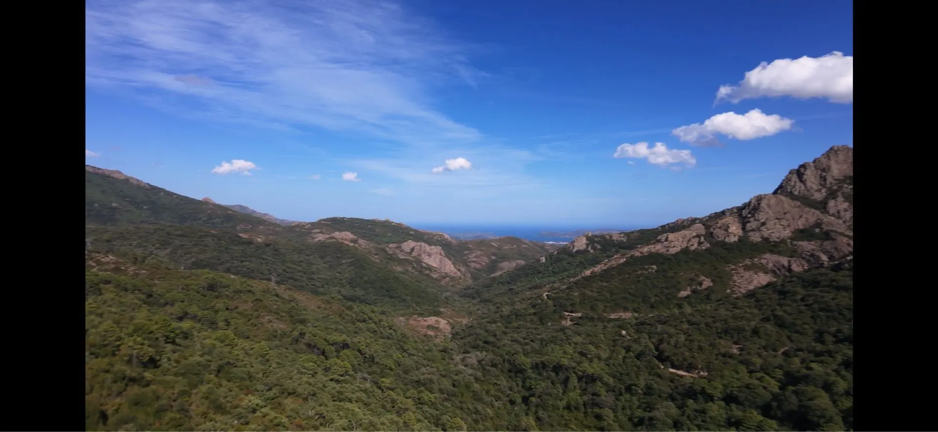
Leicht zugänglich, leicht zu fliegen 
Can I fly here?· 03

50 m maximum

You can fly up to 50 m above the ground.

Max height : 50 m

  • [LF][CTR FIGARI]Conditional

    The zone starts 50 m above the ground: stay below it.

  • Height limited to 50 mConditional

    The DGAC restrictions map limits flight height to 50 m.

  • NOTAM M3619/26No known restriction

    NOTAM in force at this spot. Read it before flying.

  • SOLENZARANo known restriction

    NOTAM in force at this spot. Read it before flying.

A local order (prefecture, town hall) may also restrict flying. Stay alert on site.

Computed on November 15 at 01:03 AM

See on the map
Sun, Nov 15
12:03 AM
Conditions
Sunrise
Sunset
Precipitations
Temperature
KP index
Cloud cover
Wind speed
Wind gust
Visibility
Humidity
Satellites
DroneSpot Pro

Plan your flights in advance and find your windows with access to detailed 10-day forecasts showing conditions, satellites, wind, kp index, and more.