Vallée du Cher
  1. Home
  2. France
  3. Auvergne-Rhône-Alpes
  4. Saint-Genest
Saint-Genest

Vallée du Cher

Coordinates46.28639, 2.59173
Published byn005
01 Mar 2018 · 12:00 AM
Community score
0

Log in to vote

Categories
➰ Freestyle📡 Long range🌳 Arbres
Aviation weather· 04
Live wind· 05
Windy
Pilot briefing
Difficulty
1/3
Beginner
Accessibility
2/3
Moderately accessible
Description

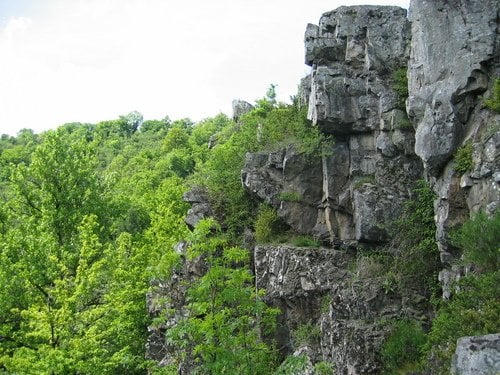
Vallée du Cher (Rocher de la buse). (Vol <100m)

Restrictions here· 03
20 active rules
  • [LF][R 368 E2]Restricted · No-fly
  • [LF][R 368 E1]Restricted · No-fly
  • R1032/25-LFFFActive now
  • RRUpcoming
  • RRUpcoming
  • RTActive now
  • RTActive now
  • RTActive now
  • Z0322/26-LFBBUpcoming
  • RRUpcoming
  • R1787/26-LFBBUpcoming
  • R1788/26-LFBBUpcoming
  • R1688/26-LFBBUpcoming
  • RRUpcoming
  • RTActive now
  • R1504/26-LFBBActive now
  • RRUpcoming
  • R1000/26-LFBBActive now
  • R1687/26-LFBBUpcoming
  • R1005/26-LFBBActive now
Wed, Jun 17
8:08 AM
Conditions
Sunrise
Sunset
Precipitations
Temperature
KP index
Cloud cover
Wind speed
Wind gust
Visibility
Humidity
Satellites
DroneSpot Pro

Plan your flights in advance and find your windows with access to detailed 10-day forecasts showing conditions, satellites, wind, kp index, and more.