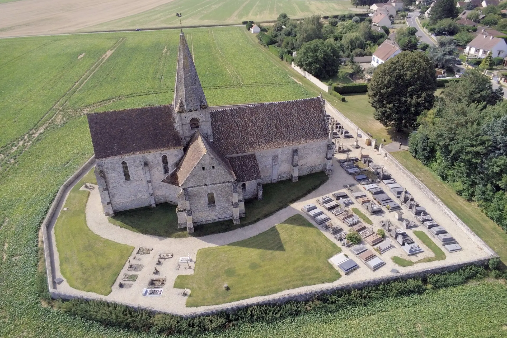
L'église est à la frontière du village, il n'y a donc pas d'habitations, c'est entouré de champs. Accès facile en voiture avec un arbre pour garer à l'ombre :-) Portail fermé à clef, rester en-dehors du cimetière.
No comments yet. Be the first!
L'église est à la frontière du village, il n'y a donc pas d'habitations, c'est entouré de champs. Accès facile en voiture avec un arbre pour garer à l'ombre :-) Portail fermé à clef, rester en-dehors du cimetière.
Prohibited
At least one restriction prohibits flying at this spot.
Max height : —
No-fly zone from the ground up.
Leisure flights are prohibited in public spaces.
A local order (prefecture, town hall) may also restrict flying. Stay alert on site.
Computed on November 19 at 09:44 PM
See on the mapPlan your flights in advance and find your windows with access to detailed 10-day forecasts showing conditions, satellites, wind, kp index, and more.