Le plus haut pont de haute savoie. Décollez près du banc. Parking à proximité. Attention aux touristes ! Préférez la semaine ou la basse saison.
Cruseilles
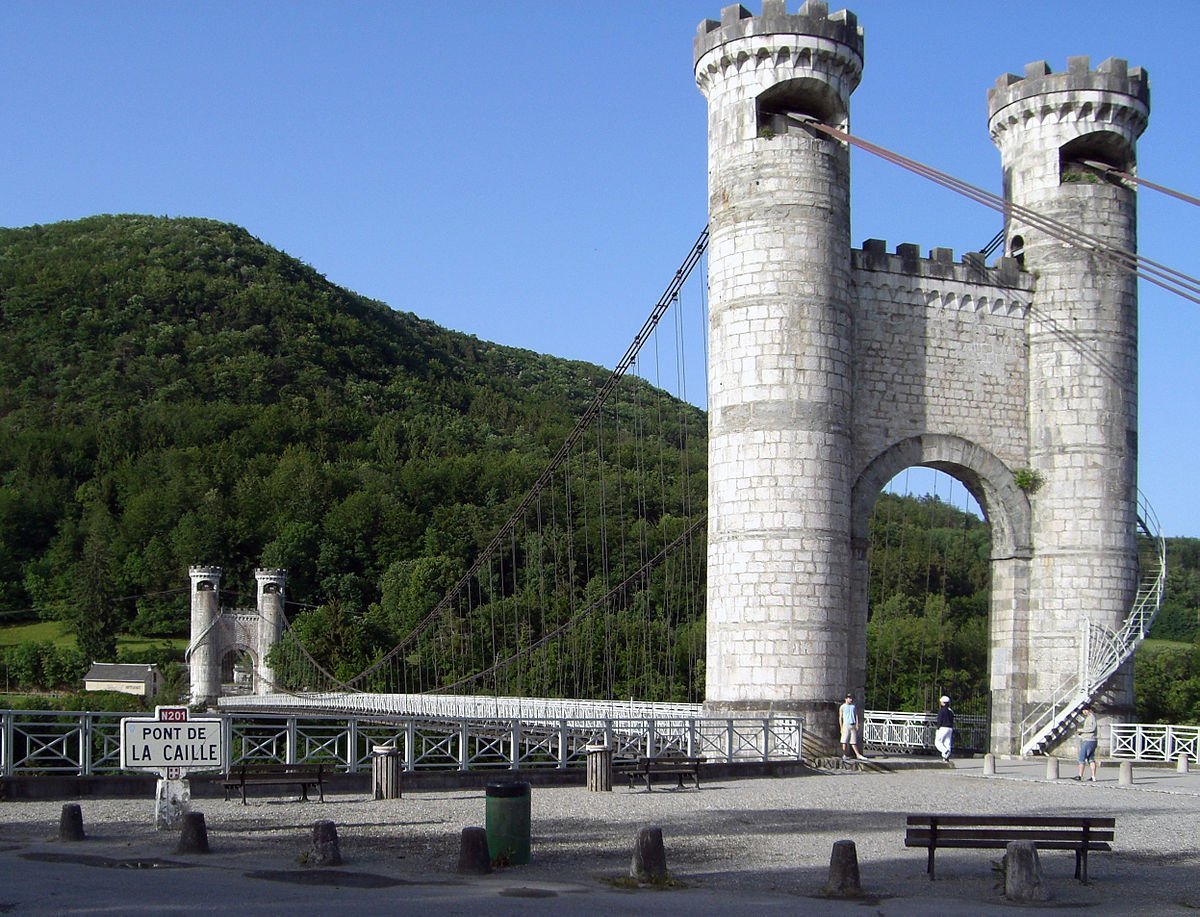
Pont de la Caille
Aviation weather· 04
Live wind· 05
Le plus haut pont de haute savoie. Décollez près du banc. Parking à proximité. Attention aux touristes ! Préférez la semaine ou la basse saison.
Plan your flights in advance and find your windows with access to detailed 10-day forecasts showing conditions, satellites, wind, kp index, and more.