1. Home
  2. France
  3. Auvergne-Rhône-Alpes
  4. Haute-Loire
  5. Lapte
Lapte

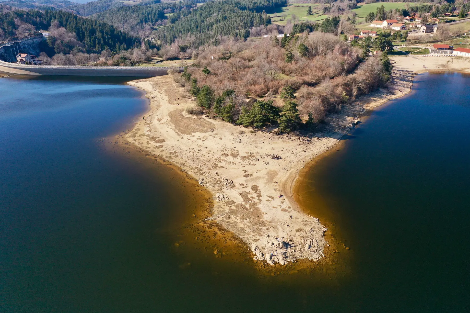
lac de Lavalette Hte Loire

Coordinates45.14897, 4.21785
Published byVisiteur web
27 Mar 2019 · 12:00 AM
Community score
0

Log in to vote

Aviation weather· 04
Comments· 05

No comments yet. Be the first!

Log in to comment

Nearby spots· 06
  • Barrage de LavaletteSaint-Jeures< 1 km
  • Lac de st FrontSaint-Front19.1 km
  • Spot de gotzeSaint-Ferréol-d'Auroure24.6 km
  • La roche pointue ou la dent du diableChaudeyrolles24.9 km
  • Viaduc de la recoumeneLe Monastier-sur-Gazeille28.9 km
  • GuizayPlanfoy30.9 km
  • PlanfoyPlanfoy31.8 km
  • Château d’essaloisChambles34.8 km
Live wind· 07
Windy
lac de Lavalette Hte Loire
Pilot briefing
Difficulty
1/3
Beginner
Accessibility
1/3
Easy to access
Description

Magnifique spot sur les eaux du Lignon, hauteur maxi 50m , attention au monde en été
Can I fly here?· 03

100 m maximum

You can fly up to 100 m above the ground.

Max height : 100 m

  • Height limited to 100 mConditional

    The DGAC restrictions map limits flight height to 100 m.

  • [LF][SETBA Secteur ARDÈCHE]No known restriction

    Military training sector, inactive at that time: nothing to do.

A local order (prefecture, town hall) may also restrict flying. Stay alert on site.

Computed on November 22 at 01:13 PM

See on the map
 
--:--
Conditions
Sunrise
Sunset
Precipitations
Temperature
KP index
Cloud cover
Wind speed
Wind gust
Visibility
Humidity
Satellites
Drone Spot Pro

Plan your flights in advance and find your windows with access to detailed 10-day forecasts showing conditions, satellites, wind, kp index, and more.