1. Home
  2. France
  3. Bretagne
  4. Plougastel-Daoulas
Plougastel-Daoulas

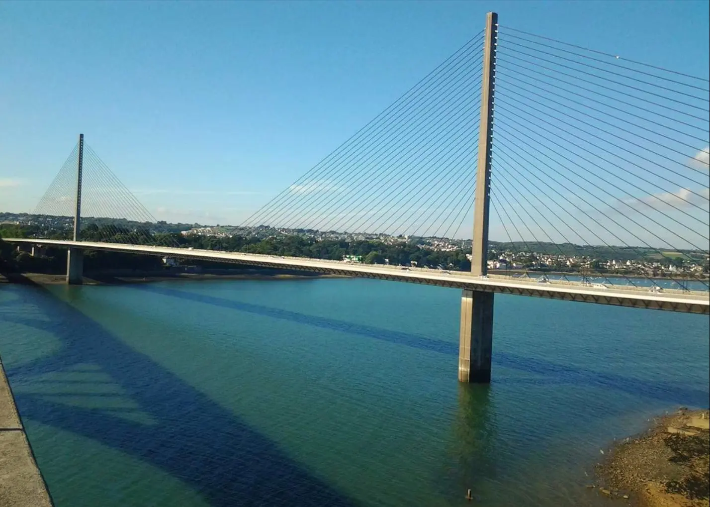
Pont de Plougastel

Coordinates48.38826, -4.38865
Published bycharlesglmt
11 Apr 2018 · 12:00 AM
Community score
0

Log in to vote

Categories
🌊 Plan d'eau
Aviation weather· 04
Comments· 05

No comments yet. Be the first!

Log in to comment

Nearby spots· 06
  • Rocher de l'impératricePlougastel-Daoulas< 1 km
  • Anse du Moulin BlancGuipavas3 km
  • Menez-HomDinéault21.9 km
  • Mousse ConquetLe Conquet27.1 km
  • Anse de KervijenPloéven27.7 km
  • Plage des Blancs SablonsLe Conquet27.8 km
  • Plage des Blancs SablonsLe Conquet28 km
  • La baie du CurnicGuissény28 km
Live wind· 07
Windy
Pont de Plougastel
Pilot briefing
Difficulty
2/3
Medium
Accessibility
2/3
Moderately accessible
Description

Plan du pont en couché de soleil, souvent la présence de voiliers. Attention au vent très fort!
Restrictions here· 03
4 active rules
  • [LF][CTR BRETAGNE]Aerodrome · ≤ 50 m
  • Piste 07R/25L aérodrome BREST BRETAGNE LFRBAerodrome / other · ≤ ~120 m · 2 layers
  • OBActive now
  • WEUpcoming
Wed, Nov 11
1:25 AM
Conditions
Sunrise
Sunset
Precipitations
Temperature
KP index
Cloud cover
Wind speed
Wind gust
Visibility
Humidity
Satellites
DroneSpot Pro

Plan your flights in advance and find your windows with access to detailed 10-day forecasts showing conditions, satellites, wind, kp index, and more.