DroneSpot
Log in

Drone flight zones map

Enter a place: DroneSpot tells you whether you can fly, how high and why. Flight zones, authorisations and today's restrictions.Click anywhere on the map: DroneSpot tells you whether you can fly, how high and why. Flight zones, authorisations and today's restrictions.

Preview of the DroneSpot map: no-fly zones in red, height limits in yellow, natural areas in green
  • No-fly zone
  • Height limit
  • Natural area
Explore the map in the app
  • No-fly zone
  • Height limit
  • Temporary restriction
  • Natural area

Most viewed places

  • Paris
  • Marseille
  • Bordeaux
  • Annecy
  • Étretat
  • Mont-Saint-Michel

What DroneSpot sees beyond the public map

  • Today's restrictions: temporary zones, military exercises, parachute drops.
  • Towns and villages, where leisure flights are prohibited in public spaces.
  • Sites where filming is prohibited, even when flying is allowed.
  • Natural areas, each with its own overflight rule.
  • The height at the exact point, terrain included.

The rules to know before you fly

  • Fly no higher than 120 m above ground, and lower near aerodromes.
  • Keep the drone in sight, fly in daylight and stay away from people.
  • In built-up areas, leisure flights are prohibited in public spaces.
  • Temporary restrictions change from one day to the next: check the map on the day of the flight.
  • On some sites, flying is allowed but filming is prohibited.

Frequently asked questions

Download the free app

DroneSpot4.5 out of 5 · free app

Install
How do I know if I can fly my drone somewhere?
Search for the place or click the map at the exact point. DroneSpot checks airspace zones, built-up areas, natural areas and today's restrictions, then gives you a verdict: allowed, height-limited, subject to conditions or prohibited.
Is the public map (cartes.gouv.fr, formerly Géoportail) enough?
It shows permanent zones. It lacks temporary restrictions (NOTAM, SUP AIP), the outline of built-up areas, sites where filming is prohibited and many natural areas. DroneSpot brings all of this together on a single drone map.
Should I check temporary restrictions before every flight?
Yes. Temporary restricted zones, military exercises, parachute drops: they can be published at any time. DroneSpot shows them on the map as soon as they are published and takes them into account in the verdict.
Can I film everywhere flying is allowed?
No. On some sensitive sites, flying is allowed but filming is prohibited. Flying legally does not mean filming legally, and the verdict flags it.
What is the maximum height I can reach?
120 m above ground in the open category, and often less near aerodromes. Click the map: DroneSpot gives you the maximum height at the exact point, terrain included.
How do I prepare a drone flight plan with the map?
Find your take-off point on the drone map and read the verdict: it gives you the flight zone, the maximum height, today's restrictions and the authorisation to request when one is needed. Your flight plan is ready in a few minutes. Check the map one last time on the day of the flight.
Latest shared spots

All the drone regulations
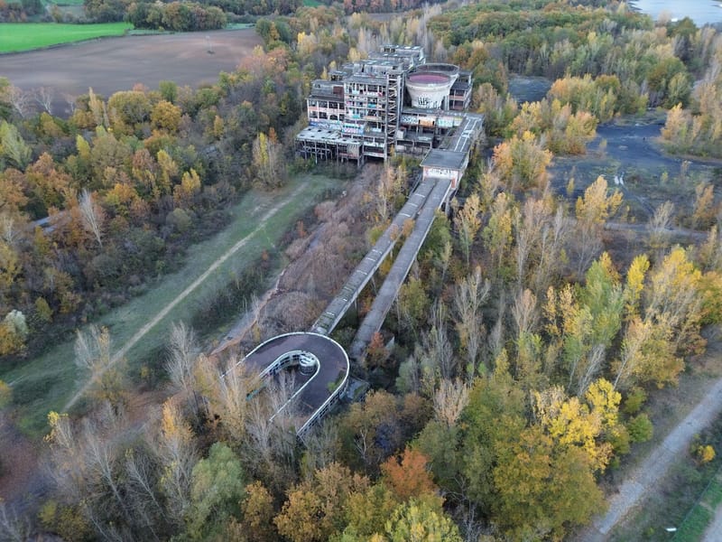
Lavoir a Charbon de Carmaux
Abbaretz
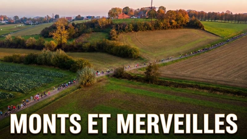
Course Monts et Merveilles - Boeschepe
Aufm Berg