1. Home
  2. France
  3. Auvergne-Rhône-Alpes
  4. Allier
  5. Treignat
Treignat

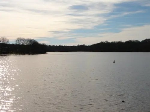
Étang d'Herculat

Coordinates46.35699, 2.36553
Published byn005
06 Mar 2018 · 12:00 AM
Community score
0

Log in to vote

Categories
🌊 Plan d'eau📡 Long range🌳 Arbres
Aviation weather· 04
Comments· 05

No comments yet. Be the first!

Log in to comment

Nearby spots· 06
  • Les Pierres JaumâtresToulx-Sainte-Croix11.8 km
  • Championnat de France de motocross (MX2)Quinssaines11.9 km
  • Lever du soleilPrémilhat13.1 km
  • RuisseauPrémilhat13.2 km
  • Vallée du CherSaint-Genest19.1 km
  • Spot champdeuilLa Celle-sous-Gouzon19.4 km
  • Étang de Moncel Les Lunéville La Celle-sous-Gouzon19.4 km
  • MarbellaLa Celle-sous-Gouzon19.4 km
Live wind· 07
Windy
Étang d'Herculat
Pilot briefing
Difficulty
2/3
Medium
Accessibility
2/3
Moderately accessible
Description

Étang d'Herculat à Treignat. Vol <50m
Can I fly here?· 03

Conditional: prior notification

Prior notification is required for drones of 900 g or more.

Max height : 120 m

  • [LF][SETBA Secteur COMBRAILLES]Conditional

    Military training sector: with a drone of 900 g or more, notify your flight on AlphaTango, by 6 am on the day of the flight at the latest (noon for a flight after 2 pm).

A local order (prefecture, town hall) may also restrict flying. Stay alert on site.

Computed on November 16 at 12:56 PM

See on the map
Mon, Nov 16
11:56 AM
Conditions
Sunrise
Sunset
Precipitations
Temperature
KP index
Cloud cover
Wind speed
Wind gust
Visibility
Humidity
Satellites
DroneSpot Pro

Plan your flights in advance and find your windows with access to detailed 10-day forecasts showing conditions, satellites, wind, kp index, and more.