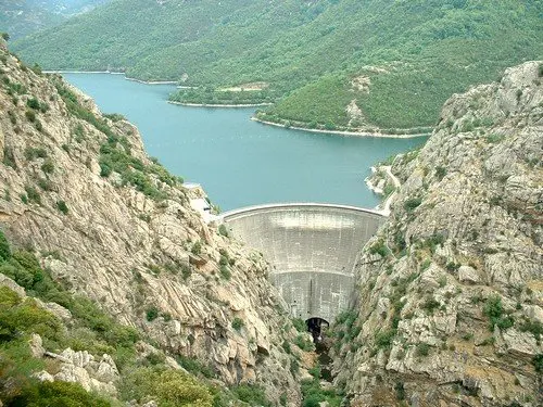
Le lac de Tolla est un lac de barrage corse dans le département de la Corse-du-Sud, sur le Prunelli situé à 552 m d'altitude, près de la commune de Tolla à l'est d'Ajaccio.
No comments yet. Be the first!
Le lac de Tolla est un lac de barrage corse dans le département de la Corse-du-Sud, sur le Prunelli situé à 552 m d'altitude, près de la commune de Tolla à l'est d'Ajaccio.
Prohibited in public spaces
You are in a built-up area. Leisure flights are prohibited in public spaces here.
Max height : —
Leisure flights are prohibited in public spaces.
NOTAM in force at this spot. Read it before flying.
A local order (prefecture, town hall) may also restrict flying. Stay alert on site.
Computed on November 21 at 06:02 PM
See on the mapPlan your flights in advance and find your windows with access to detailed 10-day forecasts showing conditions, satellites, wind, kp index, and more.