1. Home
  2. France
  3. Occitanie
  4. Hérault
  5. Montady
Montady

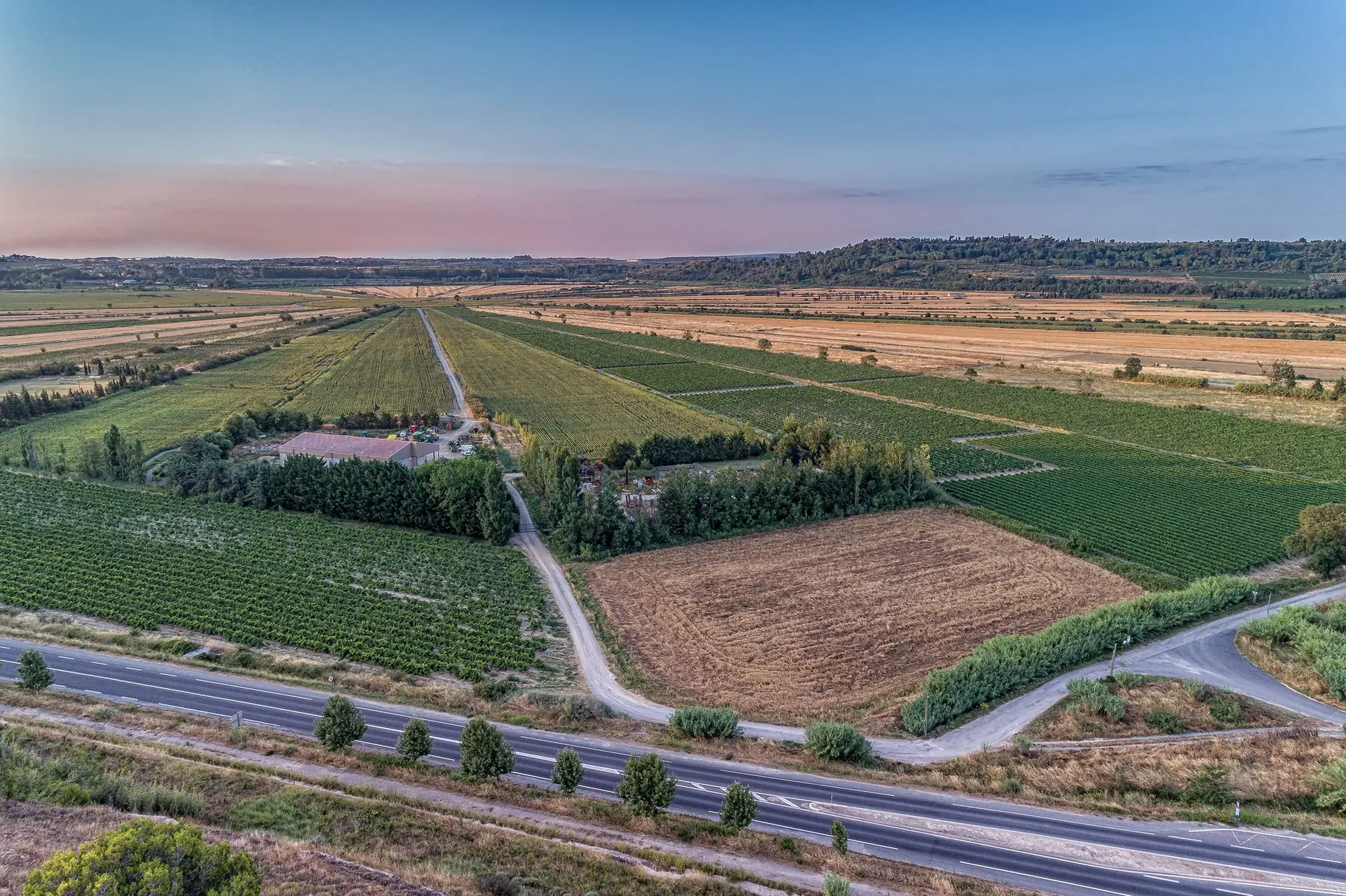
L'étang asséché de Montady

Coordinates43.32988, 3.11075
Published bybenoit
29 May 2018 · 12:00 AM
Community score
0

Log in to vote

Aviation weather· 04
Comments· 05

No comments yet. Be the first!

Log in to comment

Nearby spots· 06
  • Les moulins de Nissan lez EnsérunesNissan-lez-Enserune5.6 km
  • Plan d'eau de La MalhauteMaraussan8.2 km
  • Étang base de loisir de savignacThézan-lès-Béziers9.2 km
  • Pont suspenduThézan-lès-Béziers9.3 km
  • Grange cisterciene de FontcalvyOuveillan10.9 km
  • Notre-Dame de BadonesBéziers12.6 km
  • Stade Raoul BarrièreBéziers12.9 km
  • Résidence Soleillades Vendres PlageVendres16.4 km
Live wind· 07
Windy
L'étang asséché de Montady
Pilot briefing
Difficulty
1/3
Beginner
Accessibility
1/3
Easy to access
Description

Un bel endroit facile d'accès
Can I fly here?· 03

Conditional: aerodrome agreement

Near an aerodrome, flying above the height shown requires the agreement of its operator or of air traffic control.

Max height : 95 m

  • Near an aerodromeConditional

    Above 95 m, the flight requires the agreement of the aerodrome operator or of air traffic control.

A local order (prefecture, town hall) may also restrict flying. Stay alert on site.

Computed on November 20 at 07:30 AM

See on the map
 
--:--
Conditions
Sunrise
Sunset
Precipitations
Temperature
KP index
Cloud cover
Wind speed
Wind gust
Visibility
Humidity
Satellites
Drone Spot Pro

Plan your flights in advance and find your windows with access to detailed 10-day forecasts showing conditions, satellites, wind, kp index, and more.