Mont-Cerisy
  1. Home
  2. France
  3. Normandie
  4. Cerisy-Belle-Étoile
Cerisy-Belle-Étoile

Mont-Cerisy

Coordinates48.79168, -0.63485
Published bymavictonio
31 May 2018 · 12:00 AM
Community score
+1

Log in to vote

Aviation weather· 04
Comments· 05

No comments yet. Be the first!

Log in to comment

Live wind· 06
Windy
Pilot briefing
Difficulty
2/3
Medium
Accessibility
2/3
Moderately accessible
Description

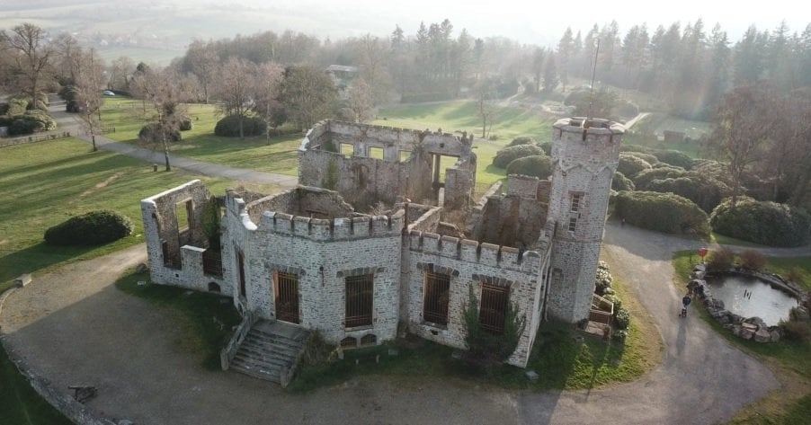
Les ruines du château du Mont-Cerisy qui surplomb le bocage normand. Très bon endroit pour voler, particulièrement de mai à juillet car le Mont est entouré de plantations de rhododendrons arborescents. Ce qui donne des images vraiment belle. Attention cependant aux arbres qui ne sont jamais bien loin !
Restrictions here· 03
2 active rules
  • [LF][SETBA Secteur SELUNE]Aerodrome / other · No-fly
  • OBActive now
Sat, Jul 11
3:20 AM
Conditions
Sunrise
Sunset
Precipitations
Temperature
KP index
Cloud cover
Wind speed
Wind gust
Visibility
Humidity
Satellites
DroneSpot Pro

Plan your flights in advance and find your windows with access to detailed 10-day forecasts showing conditions, satellites, wind, kp index, and more.