1. Home
  2. France
  3. Orne
  4. Le Grais
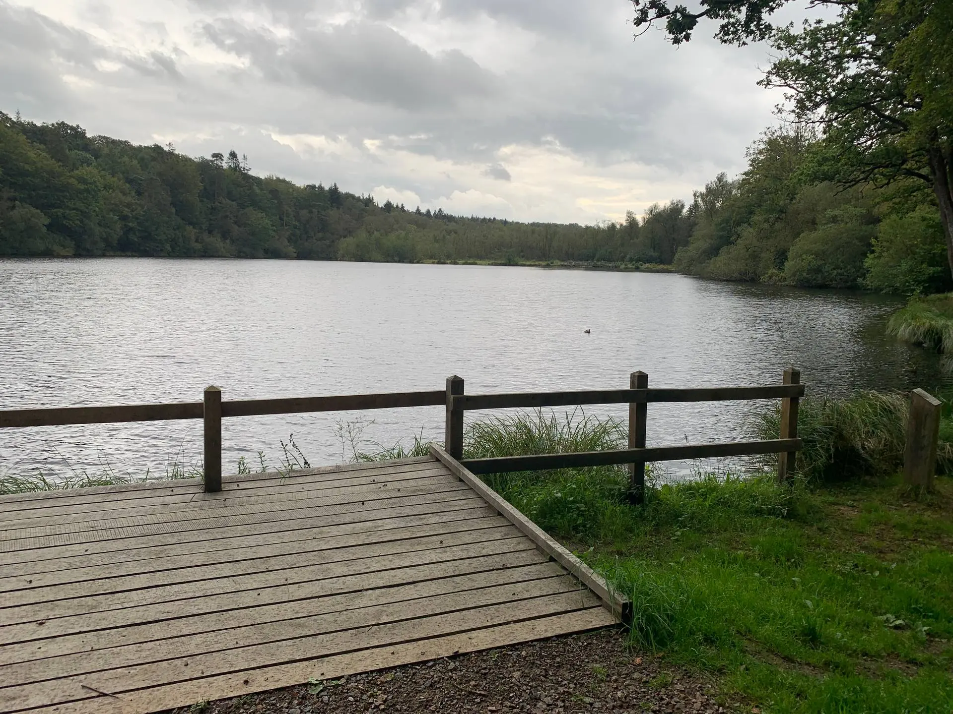
Le Grais

La lande foret

Coordinates48.62820, -0.31887
Published bybhitier
08 Sep 2024 · 01:08 PM
Community score
0

Log in to vote

Categories
🌊 Plan d'eau
Aviation weather· 04
Comments· 05

No comments yet. Be the first!

Log in to comment

Nearby spots· 06
  • Lac La Ferté MacéLa Ferté Macé6 km
  • Lac de RabodangesPutanges-le-Lac17.9 km
  • Roche d'OëtreSaint-Philbert-sur-Orne22.8 km
  • Mont-CerisyCerisy-Belle-Étoile29.5 km
  • Viaduc de ClécyLe Vey33.2 km
  • Barrage de St-Fraimbault-de-PrièresSaint-Fraimbault-de-Prières35.5 km
  • Menil champsMénil-Erreux40 km
  • La voie verteMayenne43.7 km
Live wind· 07
Windy
La lande foret
Pilot briefing
Difficulty
2/3
Medium
Accessibility
2/3
Moderately accessible
Description

Un étang au milieu d’une forêt

Restrictions here· 03
1 active rule
  • [LF][SETBA Secteur SELUNE]Aerodrome / other · No-fly
Tue, Nov 10
5:55 PM
Conditions
Sunrise
Sunset
Precipitations
Temperature
KP index
Cloud cover
Wind speed
Wind gust
Visibility
Humidity
Satellites
DroneSpot Pro

Plan your flights in advance and find your windows with access to detailed 10-day forecasts showing conditions, satellites, wind, kp index, and more.