1. Home
  2. France
  3. Bourgogne-Franche-Comté
  4. Lacanche
Lacanche

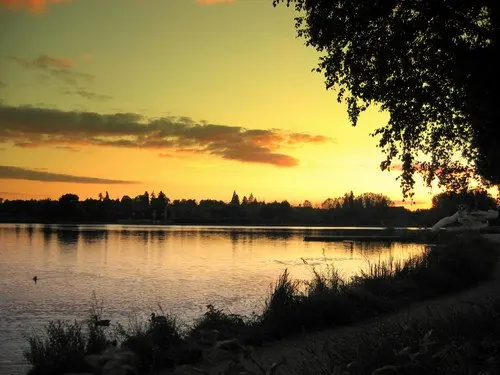
Étang de Lacanche

Coordinates47.07914, 4.56856
Published byerwann
08 Aug 2018 · 12:00 AM
Community score
0

Log in to vote

Aviation weather· 04
Comments· 05

No comments yet. Be the first!

Log in to comment

Nearby spots· 06
  • Mont de sène- Montagne des 3 croixSantenay19.3 km
  • Grosbois/Bourgogne (Côte d’Or)Grosbois-en-Montagne25.3 km
  • Grosbois/Bourgogne (Côte d’Or)Grosbois-en-Montagne25.3 km
  • Grosbois/Bourgogne (Côte d’Or)Grosbois-en-Montagne25.3 km
  • Autun Saône et LoireAutun26.8 km
  • Velars sur Ouche - Notre Dame d'EtangVelars-sur-Ouche35.4 km
  • Notre Dame D'étangVelars-sur-Ouche35.5 km
  • Mont AvrilSaint-Désert36.3 km
Live wind· 07
Windy
Étang de Lacanche
Pilot briefing
Difficulty
1/3
Beginner
Accessibility
1/3
Easy to access
Description

Étang très sympa, n'allez pas vers les habitations par contre
Can I fly here?· 03

To confirm: activable area

A military or restricted area may be activated here at this time. Check with its manager or in the NOTAMs before flying.

Max height : 120 m

  • [LF][R 45 B] AUTUNOISTo be confirmed

    Activable area: it may be active at this time although no activation is known yet.

  • No-fly on the DGAC mapTo be confirmed

    The DGAC map shows this zone as permanently “no-fly”, without its hours. The map is indicative: what counts is the zone’s activation, published by the SIA. Check it before flying.

A local order (prefecture, town hall) may also restrict flying. Stay alert on site.

Computed on November 15 at 12:56 AM

See on the map
Sat, Nov 14
11:56 PM
Conditions
Sunrise
Sunset
Precipitations
Temperature
KP index
Cloud cover
Wind speed
Wind gust
Visibility
Humidity
Satellites
DroneSpot Pro

Plan your flights in advance and find your windows with access to detailed 10-day forecasts showing conditions, satellites, wind, kp index, and more.