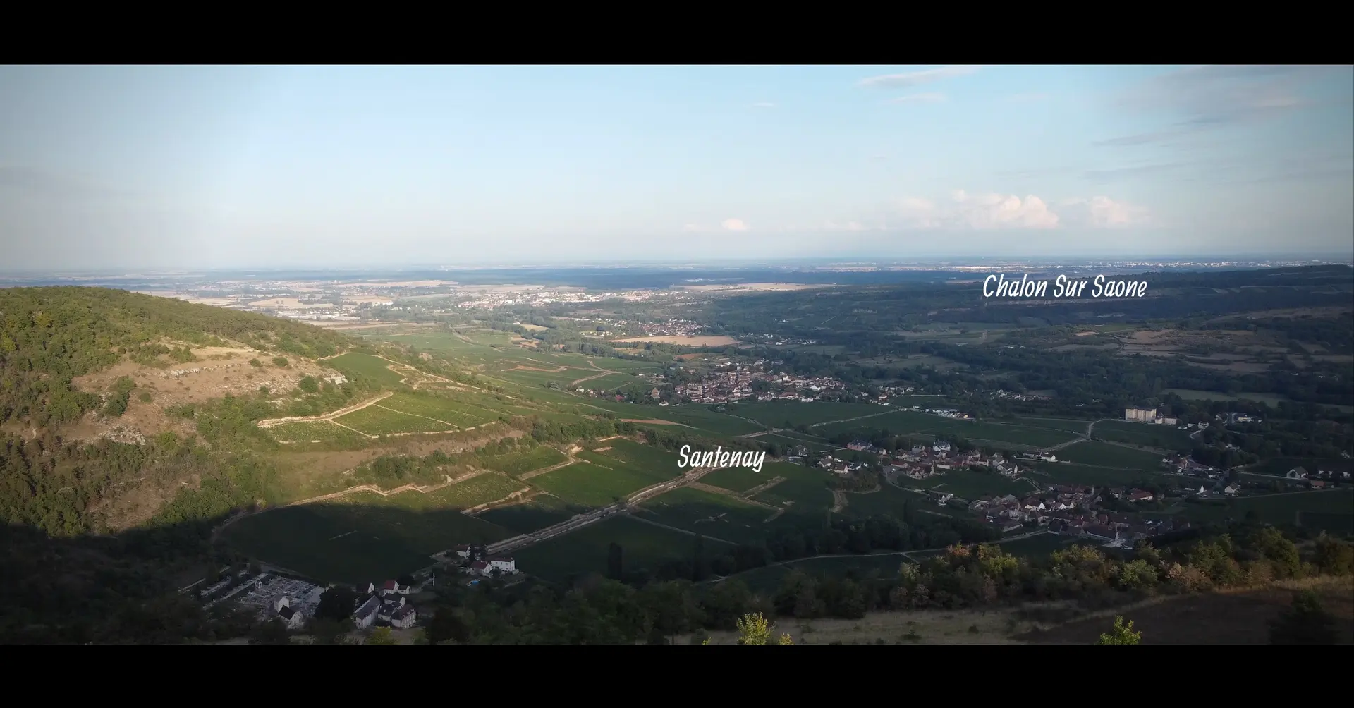
A 551 m’d’altitude avec accès direct en voiture, un panorama sur les vignes de Santenay et de Maranges Mais aussi Chalon sur Saône et le Morvan Particularité , le sommet est à cheval sur la cote d’or et la Saône et Loire
No comments yet. Be the first!
A 551 m’d’altitude avec accès direct en voiture, un panorama sur les vignes de Santenay et de Maranges Mais aussi Chalon sur Saône et le Morvan Particularité , le sommet est à cheval sur la cote d’or et la Saône et Loire
To confirm: activable area
A military or restricted area may be activated here at this time. Check with its manager or in the NOTAMs before flying.
Max height : 120 m
Activable area: it may be active at this time although no activation is known yet.
The DGAC map shows this zone as permanently “no-fly”, without its hours. The map is indicative: what counts is the zone’s activation, published by the SIA. Check it before flying.
Protected area with no known overflight ban. Respect wildlife and plants.
A local order (prefecture, town hall) may also restrict flying. Stay alert on site.
Computed on November 15 at 12:57 AM
See on the mapPlan your flights in advance and find your windows with access to detailed 10-day forecasts showing conditions, satellites, wind, kp index, and more.