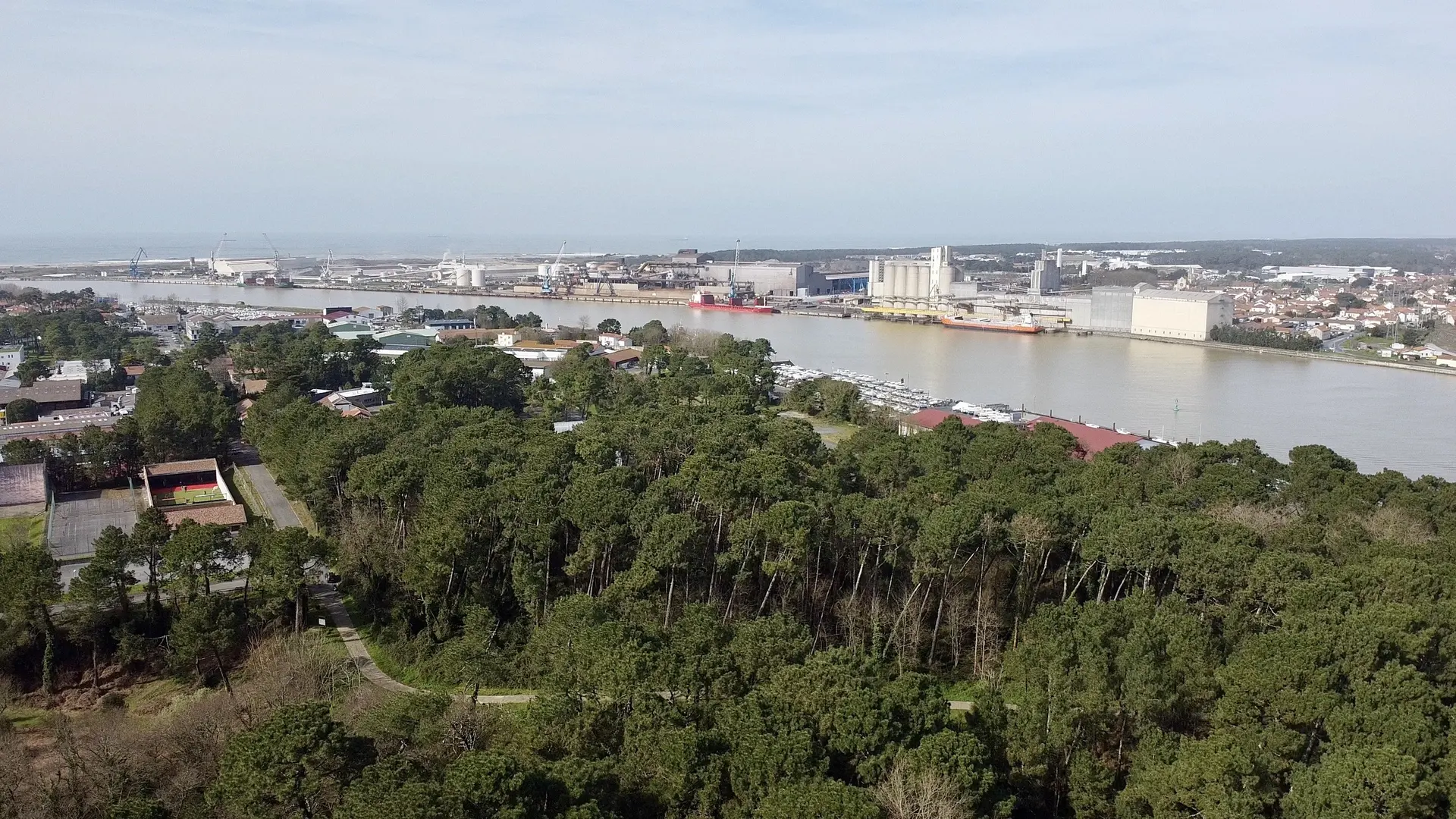
La forêt du Lazaret, située dans le quartier de Blancpignon, au-dessus du port, est un havre de paix (au XVIe siècle, un lazaret fut construit dans les dunes afin de surveiller les bateaux en quarantaine)
No comments yet. Be the first!
La forêt du Lazaret, située dans le quartier de Blancpignon, au-dessus du port, est un havre de paix (au XVIe siècle, un lazaret fut construit dans les dunes afin de surveiller les bateaux en quarantaine)
Prohibited in public spaces
You are in a built-up area. Leisure flights are prohibited in public spaces here.
Max height : —
Leisure flights are prohibited in public spaces.
The zone starts 50 m above the ground: stay below it.
NOTAM in force at this spot. Read it before flying.
A local order (prefecture, town hall) may also restrict flying. Stay alert on site.
Computed on November 16 at 01:54 PM
See on the mapPlan your flights in advance and find your windows with access to detailed 10-day forecasts showing conditions, satellites, wind, kp index, and more.