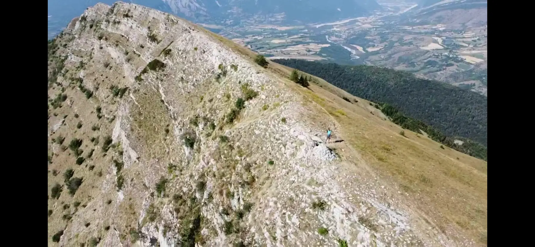
Magnifique vue 360° sur le massif autour de Gap et des Écrins. Montée de 800m D+ depuis le lac de Charance. Conditions de vol assez faciles mais peut être venteux selon la météo.
No comments yet. Be the first!
Magnifique vue 360° sur le massif autour de Gap et des Écrins. Montée de 800m D+ depuis le lac de Charance. Conditions de vol assez faciles mais peut être venteux selon la météo.
To confirm: temporary area
A temporary area published by NOTAM or AIP SUP may cover this spot. Check its exact outline before flying.
Max height : 120 m
Temporary restricted area in force: no flying without the approval of its operator.
Protected area with no known overflight ban. Respect wildlife and plants.
A local order (prefecture, town hall) may also restrict flying. Stay alert on site.
Computed on November 15 at 01:08 AM
See on the mapPlan your flights in advance and find your windows with access to detailed 10-day forecasts showing conditions, satellites, wind, kp index, and more.