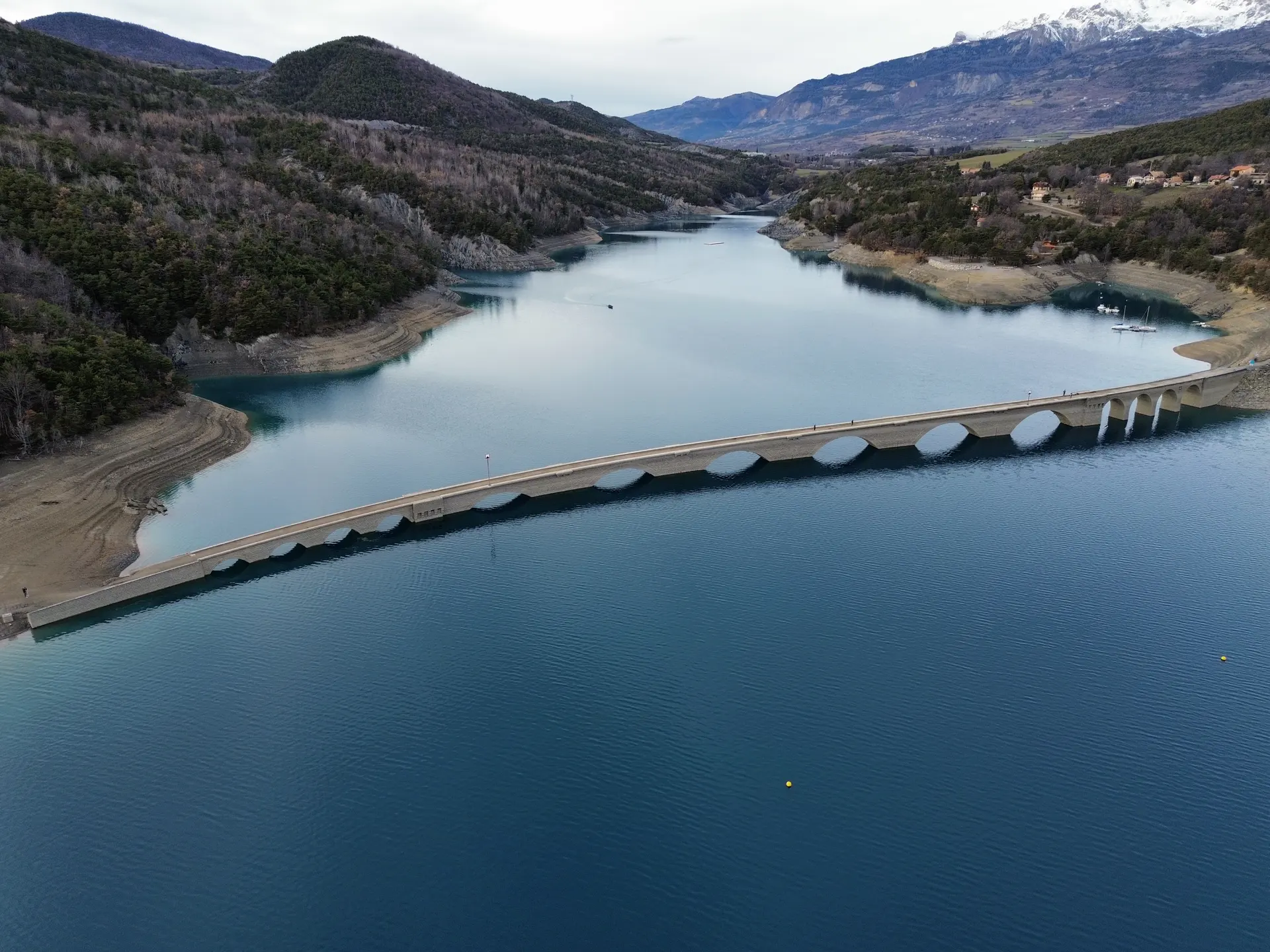
Le pont de Chanteloube ou Viaduc des Moulettes: la ligne de chemin de fer inachevée. Le pont est parfois immergé sous l’eau en fonction de la période de l’année…
No comments yet. Be the first!
Le pont de Chanteloube ou Viaduc des Moulettes: la ligne de chemin de fer inachevée. Le pont est parfois immergé sous l’eau en fonction de la période de l’année…
Flight allowed
No regulated zone at this spot. Fly up to 120 m, in daylight, with your drone in sight, away from people.
Max height : 120 m
NOTAM in force at this spot. Read it before flying.
A local order (prefecture, town hall) may also restrict flying. Stay alert on site.
Computed on November 15 at 01:03 AM
See on the mapPlan your flights in advance and find your windows with access to detailed 10-day forecasts showing conditions, satellites, wind, kp index, and more.