1. Home
  2. France
  3. Grand Est
  4. Spicheren
Spicheren

Spicheren

Coordinates49.20412, 6.96709
Published bybenjuu
08 Aug 2020 · 12:06 AM
Community score
0

Log in to vote

Aviation weather· 04
Comments· 05

No comments yet. Be the first!

Log in to comment

Nearby spots· 06
  • Point HautFolkling7.3 km
  • Golf de SarregueminesRouhling9.2 km
  • Carrière de FreymingFreyming-Merlebach14 km
  • CarrièreFreyming-Merlebach14 km
  • Hauteur de GuenvillerGuenviller15.6 km
  • Tholey - Landkreis Sankt WendelTholey32.4 km
  • Landkreis Sankt Wendel - SaarlandOberthal33.2 km
  • Theley - TholeyTholey33.9 km
Live wind· 07
Windy
Spicheren
Pilot briefing
Difficulty
2/3
Medium
Accessibility
2/3
Moderately accessible
Description

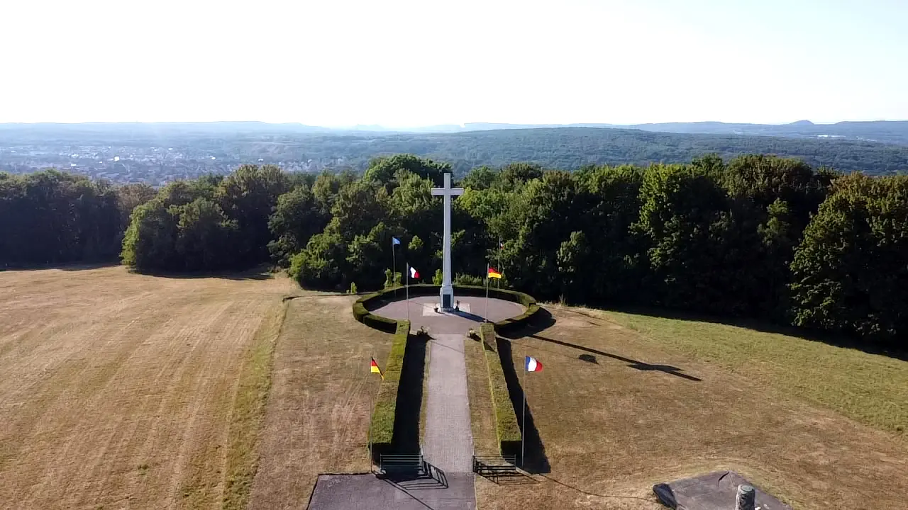
Beau paysage quelques points de vue, Sinon conditions de vol très bien, mais quelques rafale de vents du a l’altitude. A survoler
Restrictions here· 03
5 active rules
  • [LF][VOLTAC PHG N]Aerodrome / other · No-fly
  • [LF-ED][CTR SARREBRUCK-PARTIE FRANCE]Aerodrome · ≤ 50 m
  • RRUpcoming
  • RRUpcoming
  • RRUpcoming
Thu, Nov 12
6:09 PM
Conditions
Sunrise
Sunset
Precipitations
Temperature
KP index
Cloud cover
Wind speed
Wind gust
Visibility
Humidity
Satellites
DroneSpot Pro

Plan your flights in advance and find your windows with access to detailed 10-day forecasts showing conditions, satellites, wind, kp index, and more.